Chronology Maps
Click a section name to see full details and a map.
| Completed | Route | Name | Start | End |
|---|---|---|---|---|
| M1 | M1-A1 Link | J43 Belle Isle | A1(M) J43 Hook Moor | |
| A74(M) | Paddy’s Rickle - Beattock | Paddy’s Rickle Bridge | J15 Beattock | |
| A74(M) | Beattock - Cleuchbrae | J15 Beattock | Cleuchbrae |
What's new
The road that made no sense
It was the UK's only single-carriageway motorway, and twenty years ago it ceased to exist. This is the story of the strange fascination it held, and of my place in history.
The forever bottleneck, part 2
The second part of the story, where we learn why exactly the M4 gets narrower on the final approach to Europe’s biggest city.
The forever bottleneck, part 1
The M4 into London was one of the UK's earliest and most ambitious motorway projects. It was bold, pioneering... and almost instantly regretted.
Have you seen...
Smart Motorways
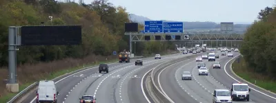
Motorways used to be really simple. Now they have electronic signals, variable speed limits, emergency lay-bys, part-time hard shoulders... Just what is so smart about Smart Motorways?