There are 466 aerial photographs here, charting the construction of one section of the M65. A photographic record like that doesn't exist for any other major road scheme - or at least, not in a form that can be seen and explored by anyone who wants to look.
Work to construct the M65 between Preston (junction 1A) and Whitebirk on the east side of Blackburn (junction 6) began in 1994 and was completed in late 1997. The 20 kilometre (13 mile) project was split into two contracts. One covered the road from Preston to Stanworth Valley, just east of junction 3, and the second was from Stanworth to Whitebirk.
Tarmac built Contract 1, and started work on site in late 1994. Their contract was the shorter of the two by length of road, but involved more complex structural work: two three-level motorway interchanges were needed, both to be built above live motorways; a range of major earthworks; diversion of existing roads while keeping traffic moving; and a combined footbridge and aqueduct to carry a stream over the motorway.
To assess their progress, they took the decision to hire an aerial photography firm to fly over the length of the work site every three months. On each trip, about 40 pictures were taken and returned to Tarmac, and 16 trips were made during the duration of the work - including two flights in April 1995.
The picture sets
The picture sets are each about three months apart, generally taken in January, April, July and October of each year. The penultimate set, from September 1997, has gone missing, and occasional photos have gone astray from other months. One of the two sets from April 1995 is not of motorway construction at all, but seems to have been an attempt to document watercourses near the new motorway, perhaps as part of an assessment of drainage outfalls. Those pictures don't appear online with the others.
That leaves fourteen sets, and those are all online, making 466 pictures in total. Each set begins at the western end of the route and pictures each feature of the new road in order, finishing at the interface with contract 2 at Stanworth. In many cases the same things were photographed from the same angle each time, or nearly every time, so it's possible to see features developing over the years if you know which pictures you're looking for. (Don't worry, we've made that much easier: the best angles for viewing the same feature over time can be found using the map view on the main page.)
You can see not just the state of the work at three-month intervals, but you can also very often see the work actually happening - concrete being poured, steelwork being craned into place, tarmac being rolled. It's all there, in miniature, in exhaustive detail.
From cobwebs to the web
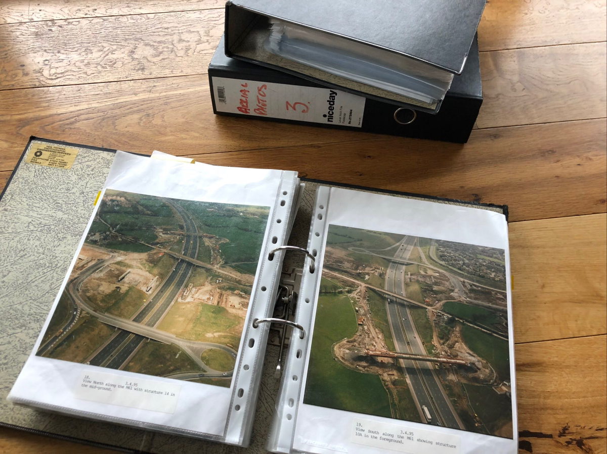
When the contract was wound up, the collection of photographs were filed away in three large lever-arch folders which went into storage, before being taken home by someone who worked on the project, presumably because nobody at Tarmac had any use for them any more. They spent the next twenty years in a variety of lofts.
In February 2017, the owner of the loft in which the photographs had come to rest, who had been a structural engineer on the M65 contract, got in touch and asked if they would be of any interest. Shortly afterwards, three bulging lever arch files arrived in a parcel.
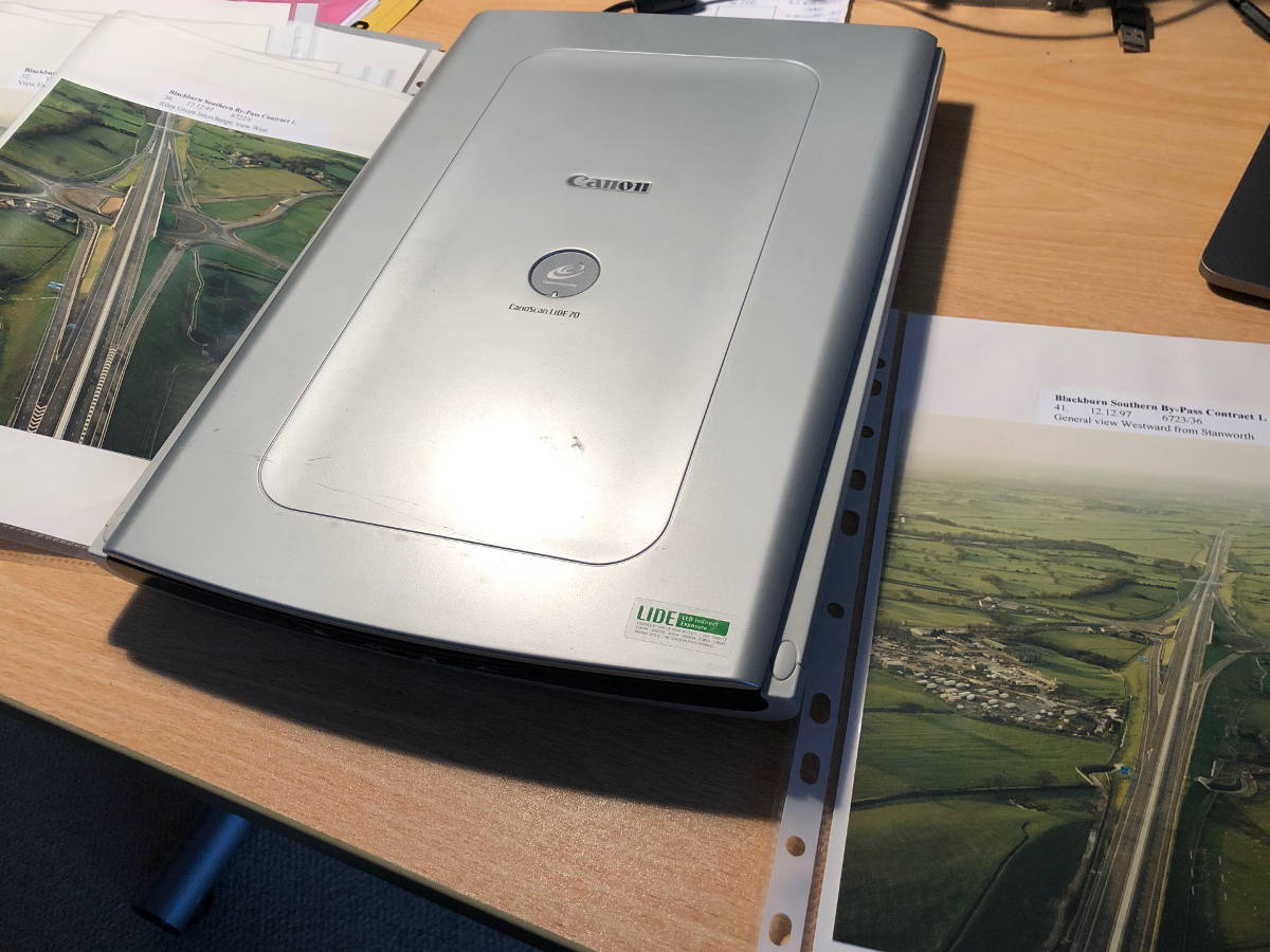
Over a period of months they have been individually scanned in, straightened, cropped, categorised and described. Pictures from different years that show the same view or the same features have been matched with each other. And now, the most remarkably complete and detailed record of the construction of a road is online, not just available to view, but ready to be searched and filtered so you can find the things that interest you most, in a way their original owners were never able to do.
And the 466 photographs, having been scanned, are all now back in their three lever arch files, and safely under the bed - but only because I don't have a loft.
