Sandy Lane overbridge, view east, 12 December 1997
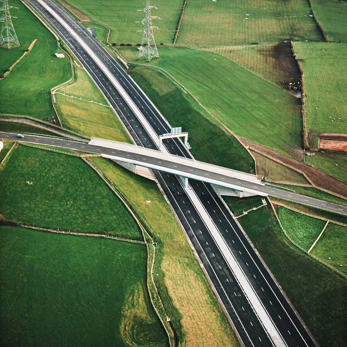
Sandy Lane overbridge, view east (see all photos of the same view)
Sandy Lane bridge includes extra width on the far side to carry a bridleway over the motorway.
Structure 16 (Sandy Lane overbridge)
B5256 Sandy Lane
What's new
The road that made no sense
It was the UK's only single-carriageway motorway, and twenty years ago it ceased to exist. This is the story of the strange fascination it held, and of my place in history.
The forever bottleneck, part 2
The second part of the story, where we learn why exactly the M4 gets narrower on the final approach to Europe’s biggest city.
The forever bottleneck, part 1
The M4 into London was one of the UK's earliest and most ambitious motorway projects. It was bold, pioneering... and almost instantly regretted.
Have you seen...
The Heads of the Valleys
The A465 Heads of the Valleys Road is one of the most spectacular trunk roads in the UK, and building it required some of the most remarkable civil engineering. This is the story of how the road was built in the 1960s, and how it's being rebuilt today.