Gorton Brook culvert, view east, 3 April 1995
Gorton Brook culvert, view east (see all photos of the same view)
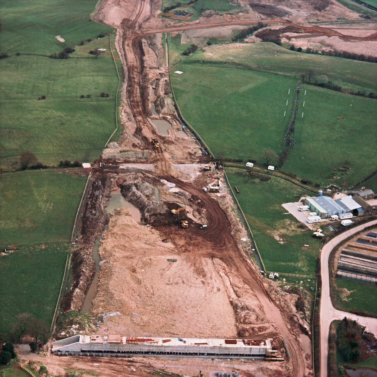
The culvert is in the middle of this picture and appears to be complete and in use. At the bottom, Gorton Brook underbridge is nearing completion. To the top right, the borrow pits at Brindle are visible, where excavation has started to gather extra material to build embankments.
Structure 15 (Gorton Brook underbridge)
Structure 15a (Gorton Brook culvert)
What's new
The road that made no sense
It was the UK's only single-carriageway motorway, and twenty years ago it ceased to exist. This is the story of the strange fascination it held, and of my place in history.
The forever bottleneck, part 2
The second part of the story, where we learn why exactly the M4 gets narrower on the final approach to Europe’s biggest city.
The forever bottleneck, part 1
The M4 into London was one of the UK's earliest and most ambitious motorway projects. It was bold, pioneering... and almost instantly regretted.
Have you seen...
Hogarth Flyover
It makes the traffic situation in one part of West London much more bearable but it should have been removed more than quarter of a century ago. It's amazing what you can do with a big Meccano kit.