Brimmicroft footbridge, view north west, 2 June 1997
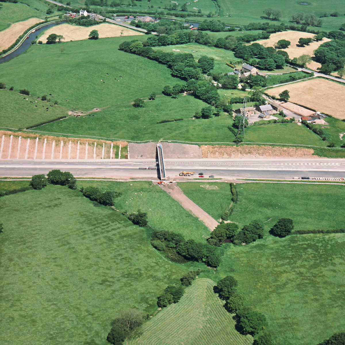
Brimmicroft overbridge, view north west (see all photos of the same view)
From this angle the work taking place at Brimmicroft is clear: the bridge will carry a footpath and a stream, but right now the deck appears to carry an orange pipeline. The surface that will carry the footpath will be laid on top of this but hasn't been installed yet.
Structure 19a (Brimmicroft overbridge)
What's new
The road that made no sense
It was the UK's only single-carriageway motorway, and twenty years ago it ceased to exist. This is the story of the strange fascination it held, and of my place in history.
The forever bottleneck, part 2
The second part of the story, where we learn why exactly the M4 gets narrower on the final approach to Europe’s biggest city.
The forever bottleneck, part 1
The M4 into London was one of the UK's earliest and most ambitious motorway projects. It was bold, pioneering... and almost instantly regretted.
Have you seen...
Mistakes
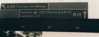
Making road signs is a tricky business, but fortunately the professionals who design them get it right. Usually.