Slack Brook culvert, view north, 21 October 1996
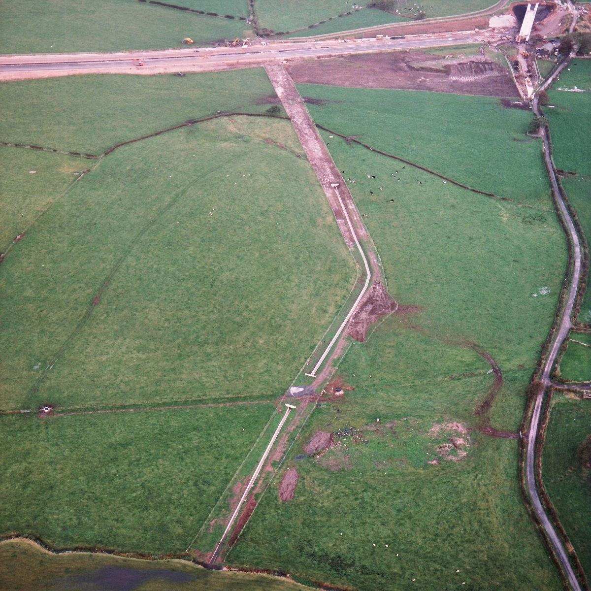
Slack Brook culvert, view north (see all photos of the same view)
The level of Slack Brook was altered significantly in order to pass under the new motorway formation, which required a long length of the brook south of the motorway to be re-graded. The culvert carrying the brook across farmland, to rejoin its original course, is seen here, almost complete.
What's new
The road that made no sense
It was the UK's only single-carriageway motorway, and twenty years ago it ceased to exist. This is the story of the strange fascination it held, and of my place in history.
The forever bottleneck, part 2
The second part of the story, where we learn why exactly the M4 gets narrower on the final approach to Europe’s biggest city.
The forever bottleneck, part 1
The M4 into London was one of the UK's earliest and most ambitious motorway projects. It was bold, pioneering... and almost instantly regretted.
Have you seen...
Above the M8
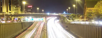
Go to Glasgow and it's almost inevitable that you'll use the M8. The views of the city surrounding it are really quite unique.