Riley Green interchange, view south west, 10 January 1996
Riley Green interchange, view south west (see all photos of the same view)
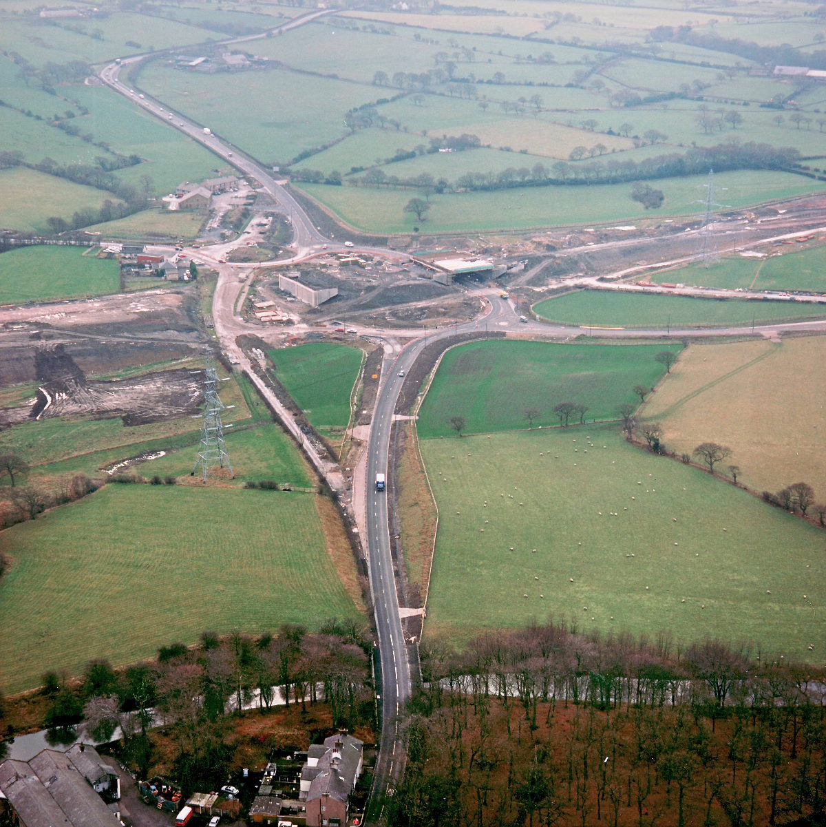
The A674, in the foreground, has been diverted to its new and final course towards the new interchange. Its old course, to the left, has already been partly broken up.
Structure 20/20a (Riley Green interchange bridges)
A674 Chorley Road
A675 Bolton Road
What's new
The road that made no sense
It was the UK's only single-carriageway motorway, and twenty years ago it ceased to exist. This is the story of the strange fascination it held, and of my place in history.
The forever bottleneck, part 2
The second part of the story, where we learn why exactly the M4 gets narrower on the final approach to Europe’s biggest city.
The forever bottleneck, part 1
The M4 into London was one of the UK's earliest and most ambitious motorway projects. It was bold, pioneering... and almost instantly regretted.
Have you seen...
Warrington New Town

New Towns are fascinating places socially and architecturally - and, of course, in terms of roads. This article explores one example from start to finish.