Gorton Brook underbridge, view north, 10 January 1996
Gorton Brook underbridge, view north (see all photos of the same view)
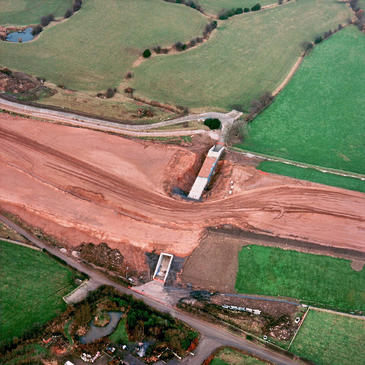
Half of the underbridge has now been covered with earth to form the continuous embankment. On the exposed half, waterproofing has yet to be applied. To the right, the slopes of the embankment have been seeded and grassed over.
Date
10 January 1996
(see all photos from this date)
Direction of view
North
Structures visible
Structure 15 (Gorton Brook underbridge)
What's new
The road that made no sense
It was the UK's only single-carriageway motorway, and twenty years ago it ceased to exist. This is the story of the strange fascination it held, and of my place in history.
The forever bottleneck, part 2
The second part of the story, where we learn why exactly the M4 gets narrower on the final approach to Europe’s biggest city.
The forever bottleneck, part 1
The M4 into London was one of the UK's earliest and most ambitious motorway projects. It was bold, pioneering... and almost instantly regretted.