Stanworth Farm underpass, view east, 14 February 1997
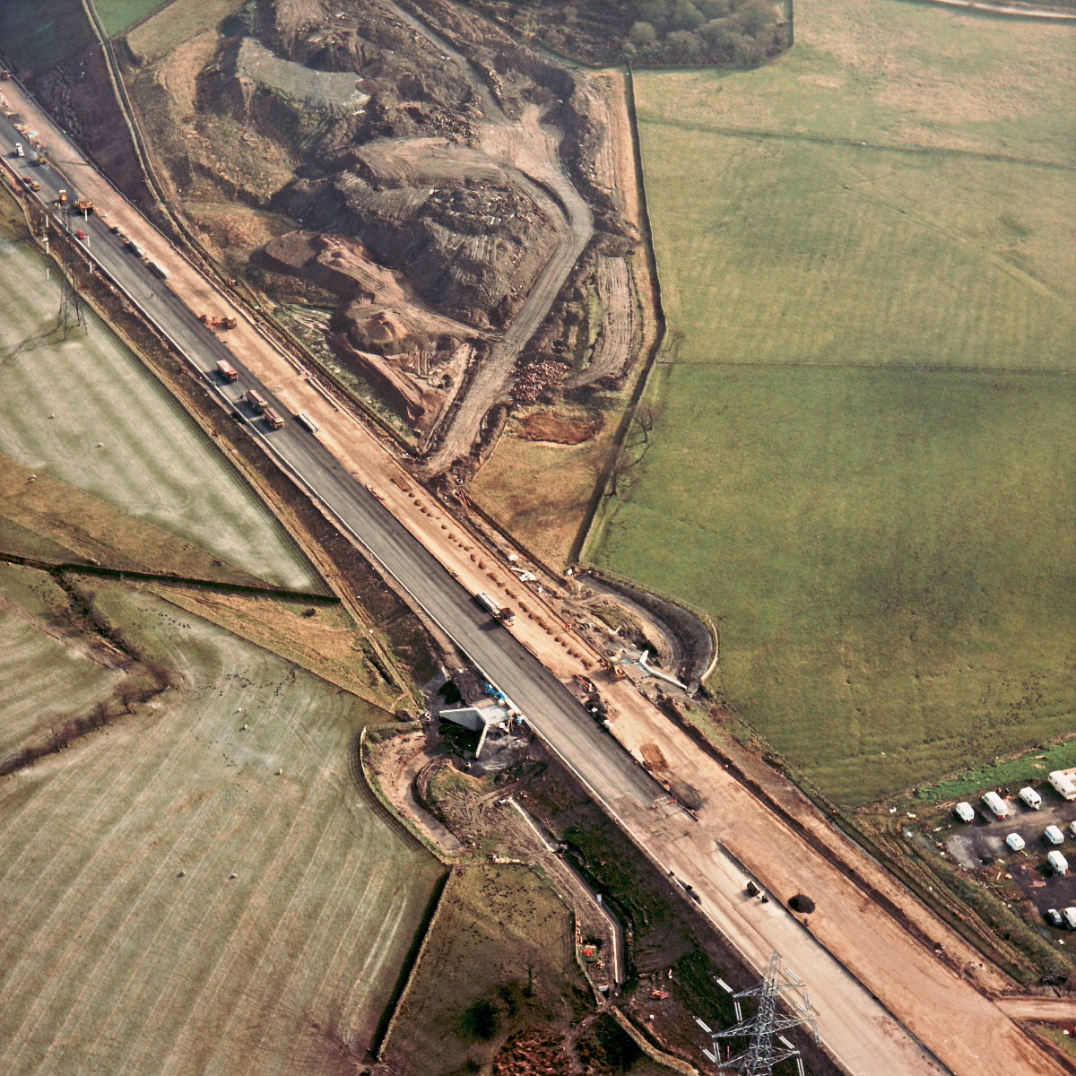
Stanworth Farm underpass, view east (see all photos of the same view)
It looks like the underpass at Stanworth is now in use. Beyond it, at the top of the picture, the temporary borrow pits, where material was excavated to form motorway embankments, have left a large area of scarred earth. That will all be landscaped over the coming months before being returned to farmland.
Structure 21 (Stanworth Farm underpass)
What's new
The road that made no sense
It was the UK's only single-carriageway motorway, and twenty years ago it ceased to exist. This is the story of the strange fascination it held, and of my place in history.
The forever bottleneck, part 2
The second part of the story, where we learn why exactly the M4 gets narrower on the final approach to Europe’s biggest city.
The forever bottleneck, part 1
The M4 into London was one of the UK's earliest and most ambitious motorway projects. It was bold, pioneering... and almost instantly regretted.