Sandy Lane overbridge, view north, 12 December 1997
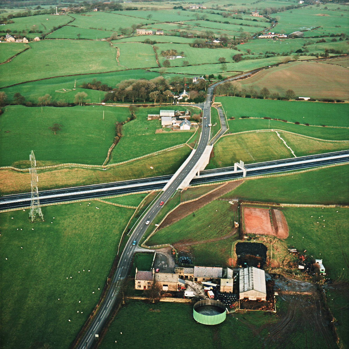
Sandy Lane overbridge, view north (see all photos of the same view)
The completed bridge carrying Sandy Lane is wider on the right-hand side; this is because the bridge has separate, parallel space for a bridleway.
Structure 16 (Sandy Lane overbridge)
B5256 Sandy Lane
What's new
The road that made no sense
It was the UK's only single-carriageway motorway, and twenty years ago it ceased to exist. This is the story of the strange fascination it held, and of my place in history.
The forever bottleneck, part 2
The second part of the story, where we learn why exactly the M4 gets narrower on the final approach to Europe’s biggest city.
The forever bottleneck, part 1
The M4 into London was one of the UK's earliest and most ambitious motorway projects. It was bold, pioneering... and almost instantly regretted.
Have you seen...
Queensway Tunnel
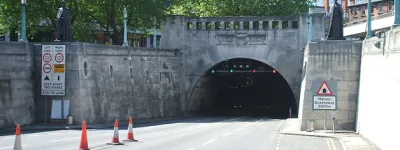
The engineering marvel of its day, much altered and maligned ever since: this is the original Mersey Tunnel in all its glory.