Stanworth rock cutting, view west 1, 12 January 1995
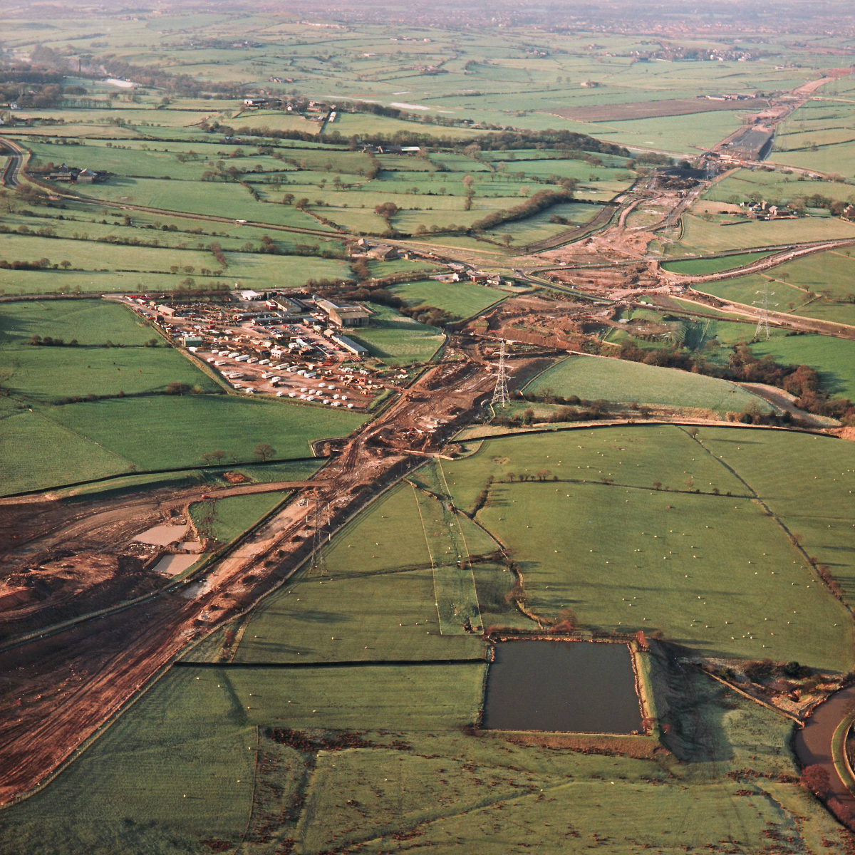
Stanworth rock cutting, view west (see all photos of the same view)
The work compound is clearly visible here, a village of cars and caravans on the left of the image near to Riley Green interchange.
A674 Chorley Road
A675 Bolton Road
What's new
The road that made no sense
It was the UK's only single-carriageway motorway, and twenty years ago it ceased to exist. This is the story of the strange fascination it held, and of my place in history.
The forever bottleneck, part 2
The second part of the story, where we learn why exactly the M4 gets narrower on the final approach to Europe’s biggest city.
The forever bottleneck, part 1
The M4 into London was one of the UK's earliest and most ambitious motorway projects. It was bold, pioneering... and almost instantly regretted.
Have you seen...
British Roads FAQ

The most Frequently Asked Questions where British Roads are concerned, and the answers. A good place to start if you're new to the subject or you're looking for quick facts.