View east from Brimmicroft footbridge to Riley Green, 12 December 1997
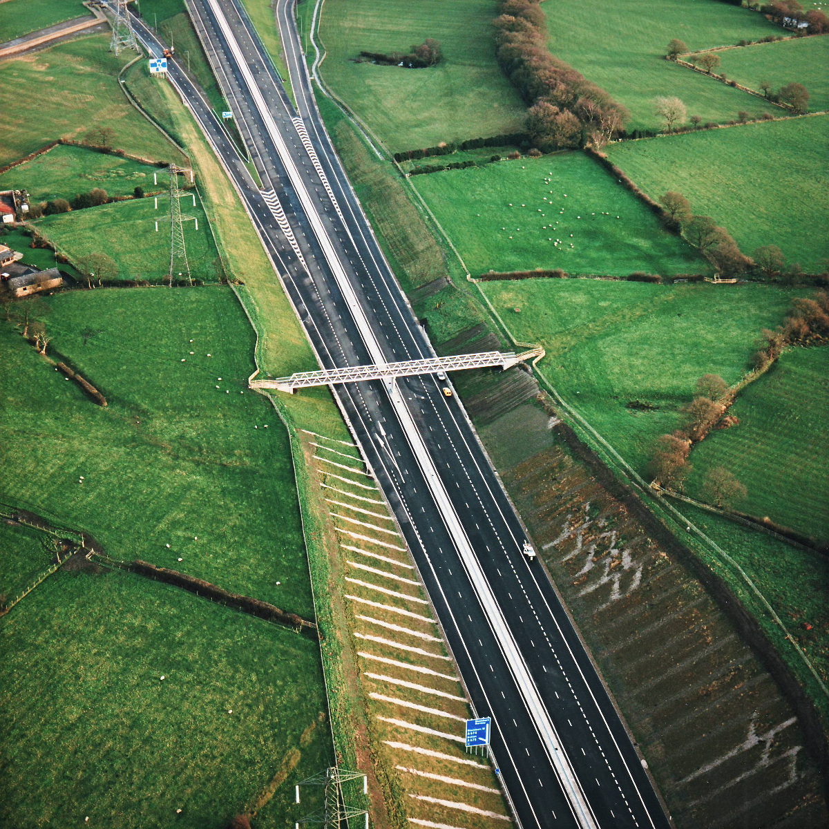
View east from Brimmicroft overbridge to Riley Green (see all photos of the same view)
The bridge at Brimmicroft occupies the middle of this picture, with part of Riley Green Interchange at the top.
Structure 19a (Brimmicroft overbridge)
What's new
The Ringways Map is here
The wait is over! The full map of the Ringways, London’s unbuilt urban motorway network, is now online. Not even the system's planners had anything like this.
Red, white and blue
Kent County Council is run by eurosceptic nationalists. So why are they putting EU flags on their road signs?
The sunlit uplands
On Saturday 31 May something historic happened. The Heads of the Valleys Road was finally complete.
Have you seen...
Thelwall Viaduct
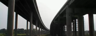
Thousands of vehicles travel the M6 between the M56 and M62 each day. They all cross the River Mersey and the Manchester Ship Canal, and the bridge that carries them is notorious from travel reports nationwide. But what does it actually look like from the ground?