View west from Sandy Lane to M61, 12 December 1997
View west from Sandy Lane to M61 (see all photos of the same view)
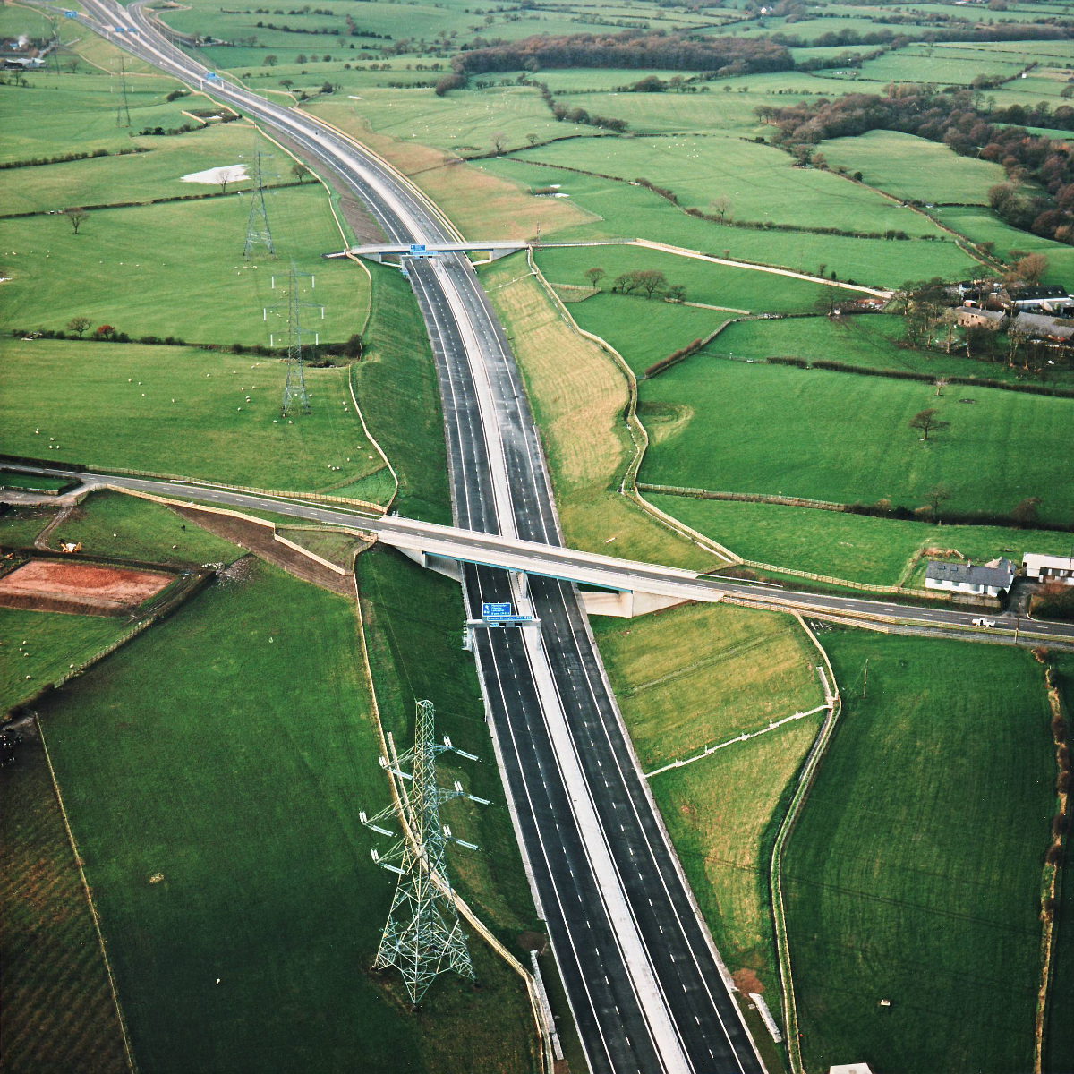
In this picture the length from Sandy Lane (at the bottom) and the M61 (at the top left) can be seen. As is the case on the rest of the project, the bridges here all have extra width to allow for future widening of the motorway.
Structure 16 (Sandy Lane overbridge)
Structure 16a (Hill House Farm overbridge)
B5256 Sandy Lane
What's new
The road that made no sense
It was the UK's only single-carriageway motorway, and twenty years ago it ceased to exist. This is the story of the strange fascination it held, and of my place in history.
The forever bottleneck, part 2
The second part of the story, where we learn why exactly the M4 gets narrower on the final approach to Europe’s biggest city.
The forever bottleneck, part 1
The M4 into London was one of the UK's earliest and most ambitious motorway projects. It was bold, pioneering... and almost instantly regretted.
Have you seen...
M1 Architecture

The most unique motorway in Britain owes its identity to its fifties architecture. Much of it is in danger of being removed or irreperably altered. This page documents it in detail.