Cuerden embankment, view east, 12 December 1997
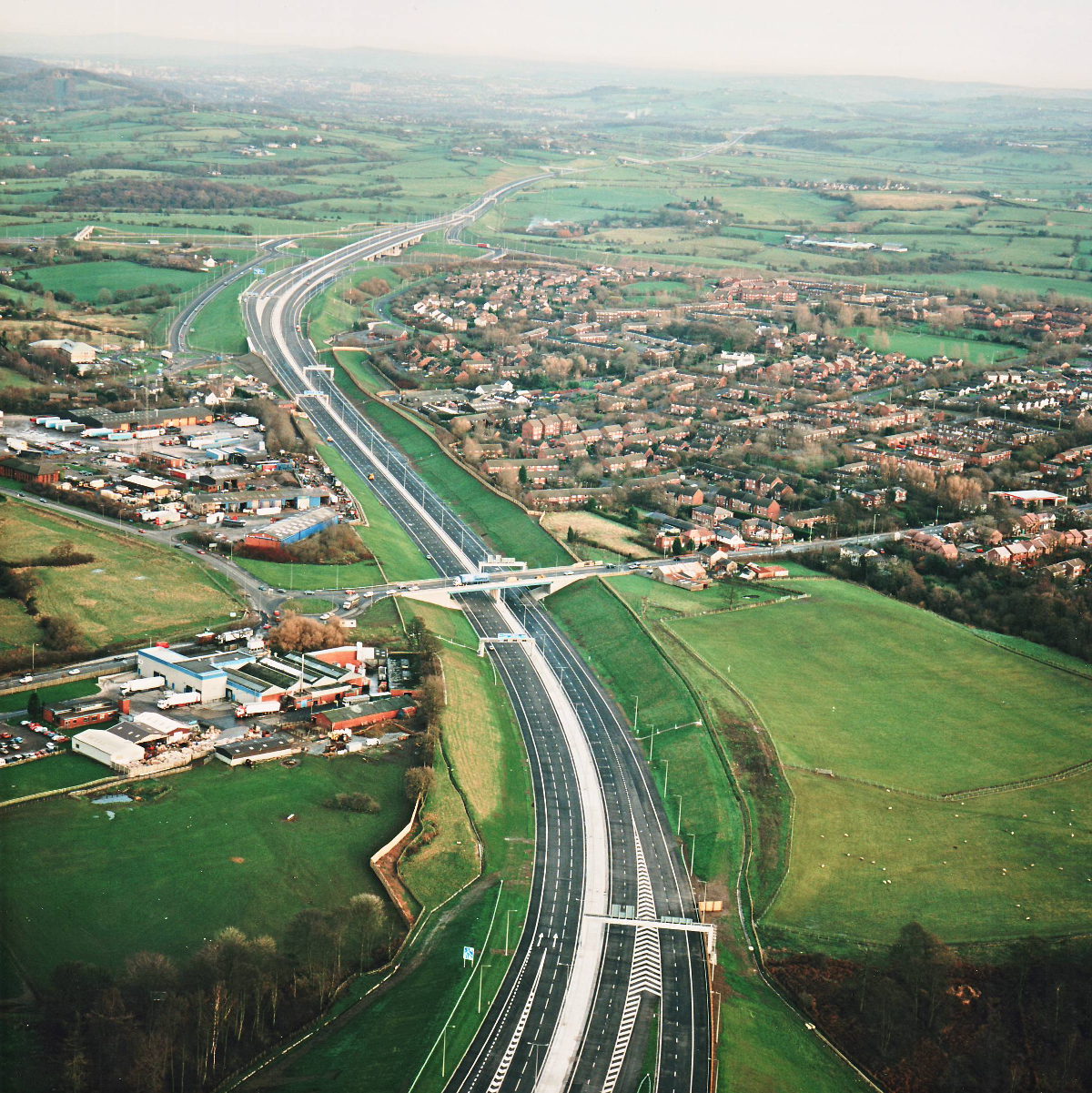
Cuerden embankment, view east (see all photos of the same view)
This high-up picture shows the whole length of motorway between the M6 (just out of sight at the bottom of the frame) and the M61. A third running lane exists for a short distance to cater for the traffic joining and leaving between these junctions.
Structure 7 (A6 overbridge)
Structure 8 (Tramway Lane underbridge)
A6 Preston Road
What's new
The road that made no sense
It was the UK's only single-carriageway motorway, and twenty years ago it ceased to exist. This is the story of the strange fascination it held, and of my place in history.
The forever bottleneck, part 2
The second part of the story, where we learn why exactly the M4 gets narrower on the final approach to Europe’s biggest city.
The forever bottleneck, part 1
The M4 into London was one of the UK's earliest and most ambitious motorway projects. It was bold, pioneering... and almost instantly regretted.
Have you seen...
The Magic Roundabout
Officially the seventh most frightening thing on the road network - but actually it might just be the most efficient junction ever designed.