View west from Marsh Lane to Sandy Lane, 17 July 1996
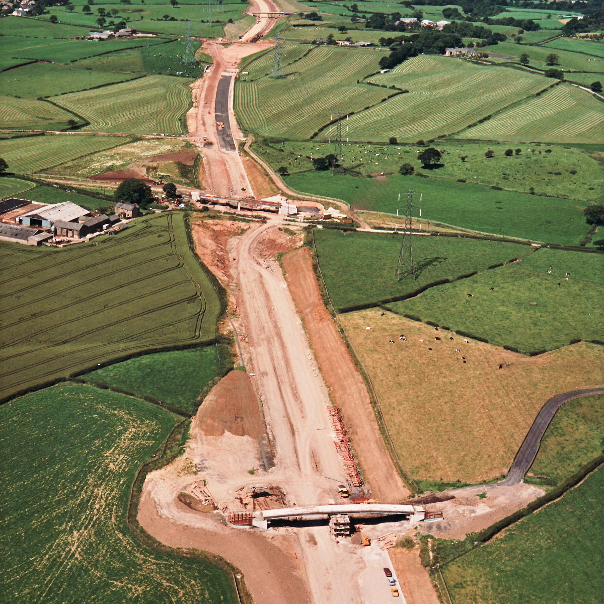
View west from Marsh Lane to Sandy Lane (see all photos of the same view)
Marsh Farm bridge is in the foreground here, with its deck appearing to be nearly complete. Marsh Lane is in the middle of the picture and Sandy Lane is in the far distance.
Structure 16 (Sandy Lane overbridge)
Structure 17 (Marsh Lane overbridge)
Structure 17a (Marsh Farm overbridge)
What's new
The road that made no sense
It was the UK's only single-carriageway motorway, and twenty years ago it ceased to exist. This is the story of the strange fascination it held, and of my place in history.
The forever bottleneck, part 2
The second part of the story, where we learn why exactly the M4 gets narrower on the final approach to Europe’s biggest city.
The forever bottleneck, part 1
The M4 into London was one of the UK's earliest and most ambitious motorway projects. It was bold, pioneering... and almost instantly regretted.
Have you seen...
Pedestrian Crossings

From Zebra to Pelican and beyond: the comprehensive history of the development of the humble pedestrian crossing.