Riley Green interchange, view south west, 29 April 1996
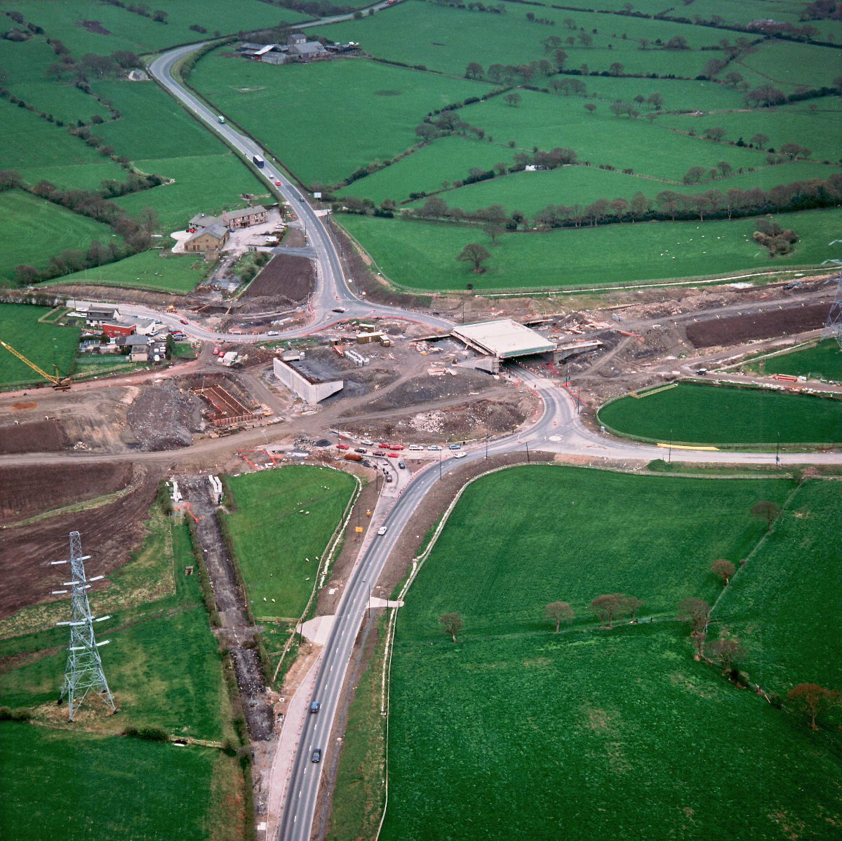
Riley Green interchange, view south west (see all photos of the same view)
Traffic continues to run through the completed bridge on the right. On the left, foundations have been built for the remaining bridge abutment.
Structure 20/20a (Riley Green interchange bridges)
A674 Chorley Road
A675 Bolton Road
What's new
The road that made no sense
It was the UK's only single-carriageway motorway, and twenty years ago it ceased to exist. This is the story of the strange fascination it held, and of my place in history.
The forever bottleneck, part 2
The second part of the story, where we learn why exactly the M4 gets narrower on the final approach to Europe’s biggest city.
The forever bottleneck, part 1
The M4 into London was one of the UK's earliest and most ambitious motorway projects. It was bold, pioneering... and almost instantly regretted.
Have you seen...
M1 Architecture

The most unique motorway in Britain owes its identity to its fifties architecture. Much of it is in danger of being removed or irreperably altered. This page documents it in detail.