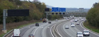
View east from Brimmicroft footbridge to Riley Green, 16 October 1995

View east from Brimmicroft overbridge to Riley Green (see all photos of the same view)
The site for Brimmicroft bridge can be seen halfway along the cutting, which is almost complete. Beyond, Riley Green interchange can be seen, and a huge village of caravans and temporary buildings at the main site compound.
Structure 19a (Brimmicroft overbridge)
Structure 20/20a (Riley Green interchange bridges)
What's new
The forever bottleneck, part 2
The second part of the story, where we learn why exactly the M4 gets narrower on the final approach to Europe’s biggest city.
The forever bottleneck, part 1
The M4 into London was one of the UK's earliest and most ambitious motorway projects. It was bold, pioneering... and almost instantly regretted.
Hello, here's my ridiculous side project
An introduction to what I write, and why I write it, and where my strange new road sign simulator fits in to all this.
Have you seen...
Smart Motorways
Motorways used to be really simple. Now they have electronic signals, variable speed limits, emergency lay-bys, part-time hard shoulders... Just what is so smart about Smart Motorways?