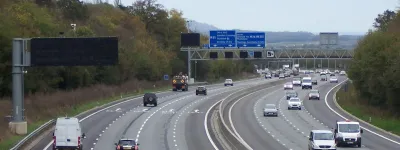
Stanworth rock cutting, view west, 20 July 1995

Stanworth rock cutting, view west (see all photos of the same view)
At the bottom of the picture, some of the rock cutting work can be seen in progress - craggy steps have been formed as layers of rock are cut away. In the distance the motorway formation stretches away towards Preston.
What's new
The road that made no sense
It was the UK's only single-carriageway motorway, and twenty years ago it ceased to exist. This is the story of the strange fascination it held, and of my place in history.
The forever bottleneck, part 2
The second part of the story, where we learn why exactly the M4 gets narrower on the final approach to Europe’s biggest city.
The forever bottleneck, part 1
The M4 into London was one of the UK's earliest and most ambitious motorway projects. It was bold, pioneering... and almost instantly regretted.
Have you seen...
Smart Motorways
Motorways used to be really simple. Now they have electronic signals, variable speed limits, emergency lay-bys, part-time hard shoulders... Just what is so smart about Smart Motorways?