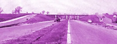
View east from Riley Green interchange to Stanworth rock cutting, 20 July 1995
View east from Riley Green interchange to Stanworth rock cutting (see all photos of the same view)
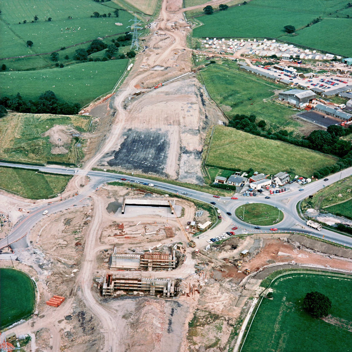
The new bridges at Riley Green can be seen taking shape here, with scaffolding visible around the new supporting walls. A mobile crane is on site, perhaps to lift shuttering into place for concrete pouring.
Structure 20/20a (Riley Green interchange bridges)
A674 Chorley Road
A675 Bolton Road
What's new
The road that made no sense
It was the UK's only single-carriageway motorway, and twenty years ago it ceased to exist. This is the story of the strange fascination it held, and of my place in history.
The forever bottleneck, part 2
The second part of the story, where we learn why exactly the M4 gets narrower on the final approach to Europe’s biggest city.
The forever bottleneck, part 1
The M4 into London was one of the UK's earliest and most ambitious motorway projects. It was bold, pioneering... and almost instantly regretted.
Have you seen...
A1(M) Darlington Bypass
Opened in May 1965, the A1(M) Darlington Bypass was one of the UK's earliest motorways and made huge strides in linking the North East to the rest of England. Explore the pioneering spirit of its engineers in the book they produced to mark its opening.