View west from Marsh Lane to Sandy Lane, 20 July 1995
View west from Marsh Lane to Sandy Lane (see all photos of the same view)
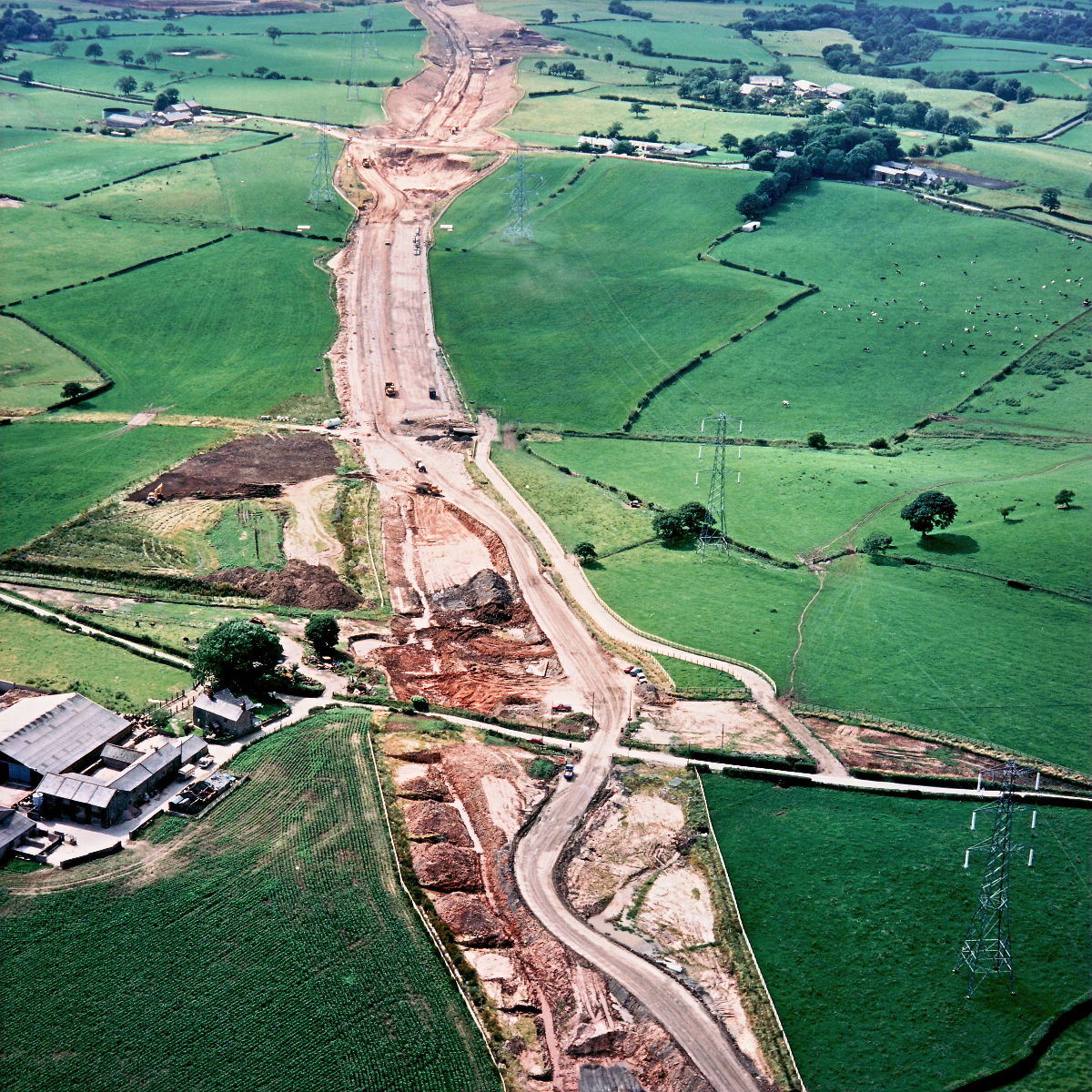
Marsh Lane crosses the line of the motorway towards the bottom of the picture. A start has yet to be made on the bridge that will carry it, but the shape of the boundary fence reveals where it will be. A new farm track has been built and completed on the right; it will provide access to fields that would otherwise be severed from the farm buildings by the motorway.
Structure 16 (Sandy Lane overbridge)
Structure 17 (Marsh Lane overbridge)
Structure 17a (Marsh Farm overbridge)
What's new
The road that made no sense
It was the UK's only single-carriageway motorway, and twenty years ago it ceased to exist. This is the story of the strange fascination it held, and of my place in history.
The forever bottleneck, part 2
The second part of the story, where we learn why exactly the M4 gets narrower on the final approach to Europe’s biggest city.
The forever bottleneck, part 1
The M4 into London was one of the UK's earliest and most ambitious motorway projects. It was bold, pioneering... and almost instantly regretted.
Have you seen...
Three Generations of the A82

Three roads were built in the space of 200 years, all trying to tame Rannoch Moor and Glen Coe. This is the impressive tale of one of Scotland's most memorable routes.