Stanworth rock cutting, view east, 3 April 1995
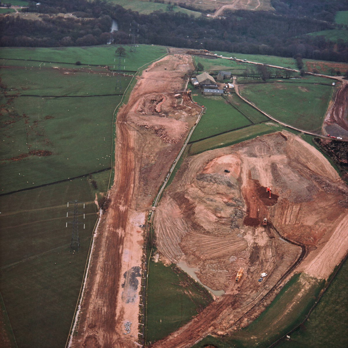
Stanworth rock cutting, view east (see all photos of the same view)
The rock cutting, near the farmhouse in the middle of the picture, has begun - in the middle of the excavated earth, a small area of broken rock can be seen with rubble just in front of it. To the right of the picture, a large borrow pit has been created, one of several sites along the line of the M65 where extra earth was dug out to gather material to build embankments for the motorway.
What's new
The road that made no sense
It was the UK's only single-carriageway motorway, and twenty years ago it ceased to exist. This is the story of the strange fascination it held, and of my place in history.
The forever bottleneck, part 2
The second part of the story, where we learn why exactly the M4 gets narrower on the final approach to Europe’s biggest city.
The forever bottleneck, part 1
The M4 into London was one of the UK's earliest and most ambitious motorway projects. It was bold, pioneering... and almost instantly regretted.
Have you seen...
A1(M) Darlington Bypass
Opened in May 1965, the A1(M) Darlington Bypass was one of the UK's earliest motorways and made huge strides in linking the North East to the rest of England. Explore the pioneering spirit of its engineers in the book they produced to mark its opening.