Riley Green interchange, view south west, 4 October 1994
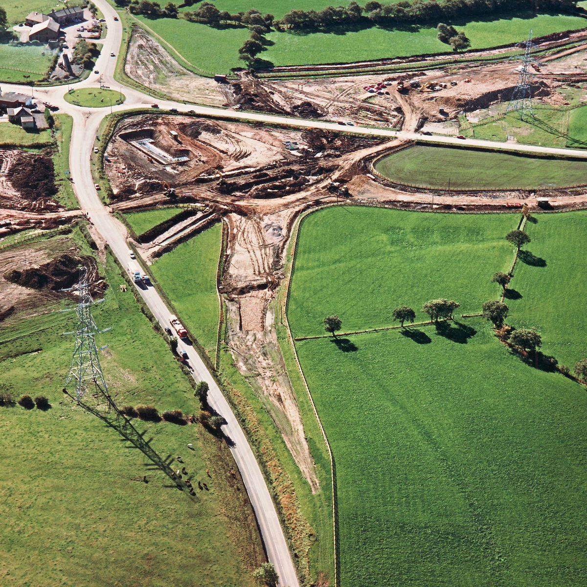
Riley Green interchange, view south west (see all photos of the same view)
The realignment of the A674 north of the junction is seen here, with foundations for one of the bridge piers being started in the distance.
A674 Chorley Road
A675 Bolton Road
What's new
The road that made no sense
It was the UK's only single-carriageway motorway, and twenty years ago it ceased to exist. This is the story of the strange fascination it held, and of my place in history.
The forever bottleneck, part 2
The second part of the story, where we learn why exactly the M4 gets narrower on the final approach to Europe’s biggest city.
The forever bottleneck, part 1
The M4 into London was one of the UK's earliest and most ambitious motorway projects. It was bold, pioneering... and almost instantly regretted.
Have you seen...
The Magic Roundabout
Officially the seventh most frightening thing on the road network - but actually it might just be the most efficient junction ever designed.