Stanworth Farm underpass, view west, 21 October 1996
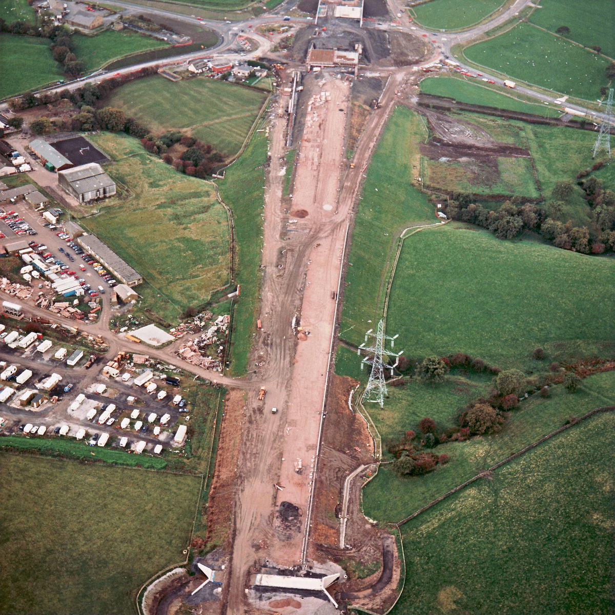
Stanworth culvert, view west (see all photos of the same view)
This view shows Stanworth Farm underpass at the very bottom of the picture, and the completed culvert in the middle - it's almost impossible to see now, under the finished embankment, but is at the highest point of the embankment carrying the watercourse at the bottom of the ditch.
Structure 21 (Stanworth Farm underpass)
What's new
The road that made no sense
It was the UK's only single-carriageway motorway, and twenty years ago it ceased to exist. This is the story of the strange fascination it held, and of my place in history.
The forever bottleneck, part 2
The second part of the story, where we learn why exactly the M4 gets narrower on the final approach to Europe’s biggest city.
The forever bottleneck, part 1
The M4 into London was one of the UK's earliest and most ambitious motorway projects. It was bold, pioneering... and almost instantly regretted.
