View west from Tramway Lane underbridge, 21 October 1996
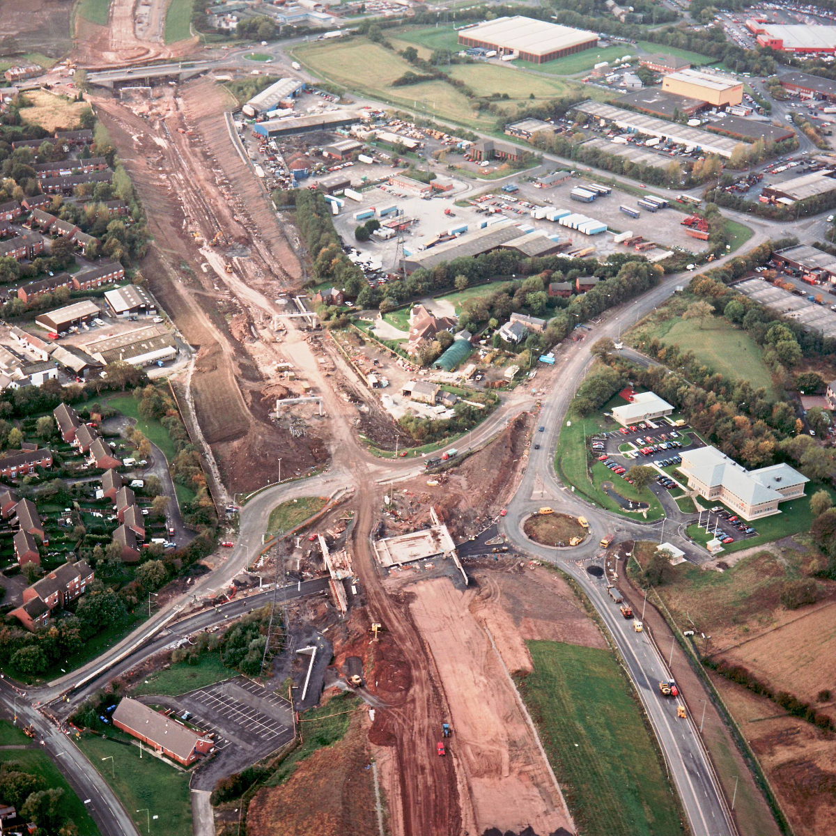
View west from Tramway Lane underbridge (see all photos of the same view)
This view shows the length of motorway between Tramway Lane (in the foreground) and the A6 Preston Road (in the distance). The road bed has now been formed on this length, and several overhead sign gantries installed. Tramway Lane itself now has tarmac laid on its new course under the motorway, but appears to be closed completely at this stage, perhaps to join the new section to the existing roads at either side.
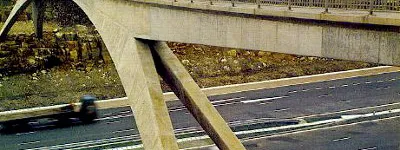
Structure 8 (Tramway Lane underbridge)
What's new
Hello, here's my ridiculous side project
An introduction to what I write, and why I write it, and where my strange new road sign simulator fits in to all this.
London, in a new light
It was specially designed never to be noticed. And now it's disappearing, nobody has noticed its absence. It's London's own bespoke street light.
The Ringways Map is here
The wait is over! The full map of the Ringways, London’s unbuilt urban motorway network, is now online. Not even the system's planners had anything like this.
Have you seen...
Harry Yeadon
A civil engineer, working principally in the North West of England, responsible for many of the area's motorways.