Cuerden embankment, view west, 20 July 1995
Cuerden embankment, view west (see all photos of the same view)
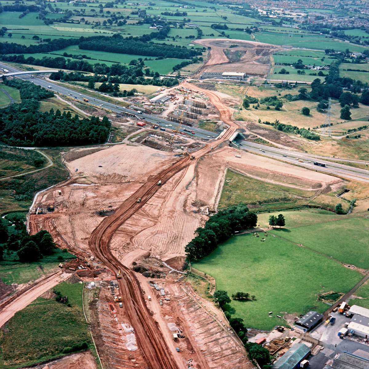
The embankment, in the middle of the picture, is vast but yet to reach its eventual height. In the foreground, the roadbed quickly enters a cutting, an indication of the hilly terrain in this area.
Structure 4/4a/4c (M6 interchange bridges)
Structure 6a (Cuerden footbridge, M6)
M6 motorway
What's new
The road that made no sense
It was the UK's only single-carriageway motorway, and twenty years ago it ceased to exist. This is the story of the strange fascination it held, and of my place in history.
The forever bottleneck, part 2
The second part of the story, where we learn why exactly the M4 gets narrower on the final approach to Europe’s biggest city.
The forever bottleneck, part 1
The M4 into London was one of the UK's earliest and most ambitious motorway projects. It was bold, pioneering... and almost instantly regretted.
Have you seen...
Driver Location Signs

If you're on the motorway (in England at least) you might have noticed some funny blue signs down the side of the road. What are they for?