Riley Green interchange, view north, 17 July 1996
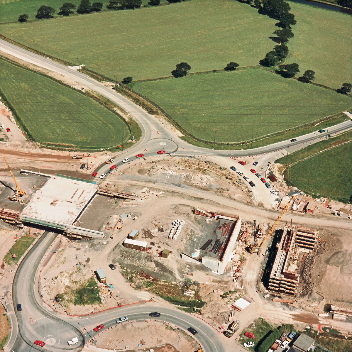
Riley Green interchange, view north (see all photos of the same view)
This picture gives an almost overhead view of the bridges at Riley Green. On the right, a mobile crane is on site and appears to be arranging the shuttering so that concrete can be poured on the next section of the bridge abutment.
Structure 20/20a (Riley Green interchange bridges)
A674 Chorley Road
A675 Bolton Road
What's new
The road that made no sense
It was the UK's only single-carriageway motorway, and twenty years ago it ceased to exist. This is the story of the strange fascination it held, and of my place in history.
The forever bottleneck, part 2
The second part of the story, where we learn why exactly the M4 gets narrower on the final approach to Europe’s biggest city.
The forever bottleneck, part 1
The M4 into London was one of the UK's earliest and most ambitious motorway projects. It was bold, pioneering... and almost instantly regretted.
