Gorton Brook culvert, view west, 17 July 1996
Gorton Brook culvert, view west (see all photos of the same view)
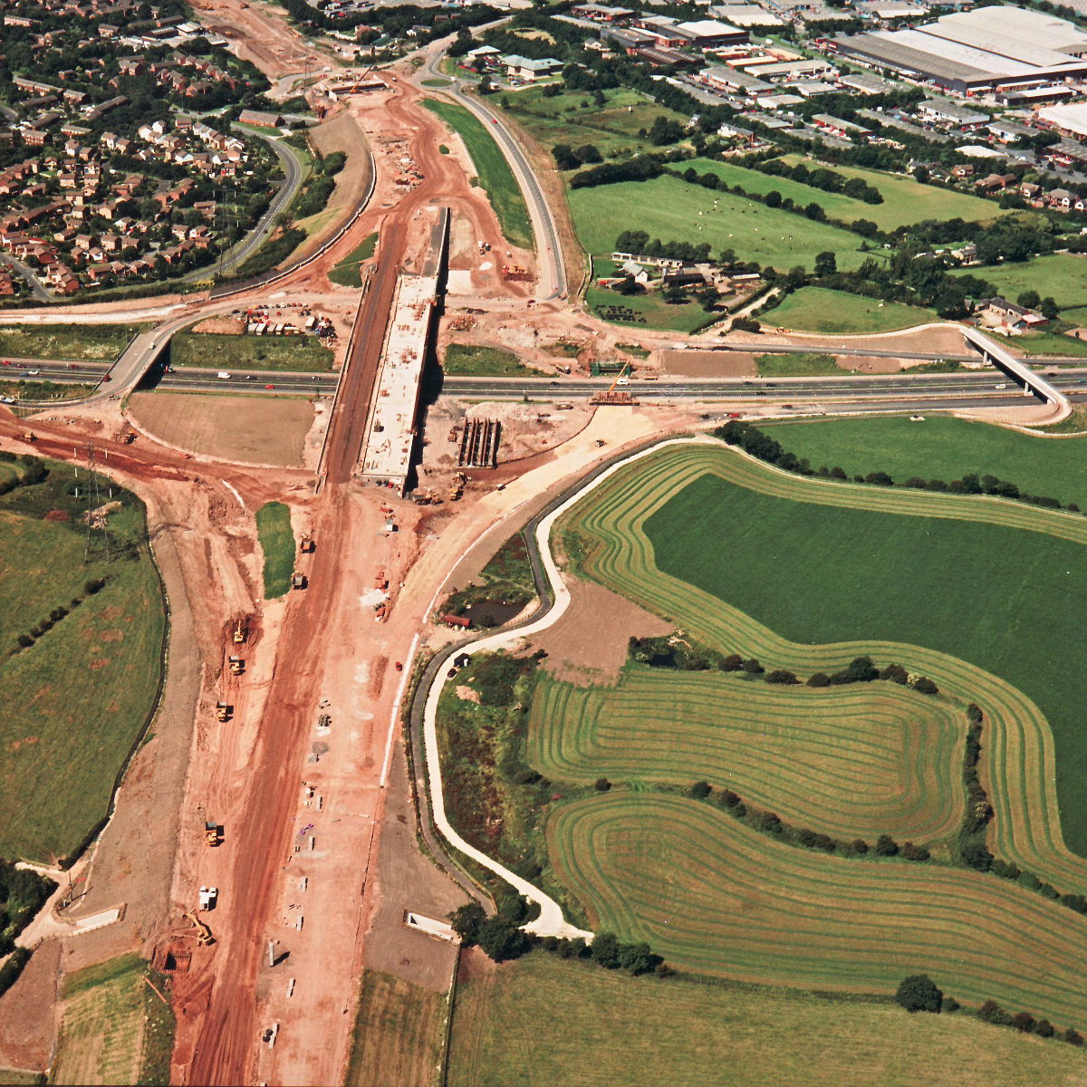
Looking west from Gorton Brook, the underpass is now complete and carries a finished embankment. One pillar for a sign gantry has been installed in what will eventually be the central reservation; a pit has been dug for the foundation of another.
Structure 10a (Brindle Road overbridge, M61)
Structure 14/14a (M61 interchange bridges)
Structure 15 (Gorton Brook underbridge)
M61 motorway
What's new
The road that made no sense
It was the UK's only single-carriageway motorway, and twenty years ago it ceased to exist. This is the story of the strange fascination it held, and of my place in history.
The forever bottleneck, part 2
The second part of the story, where we learn why exactly the M4 gets narrower on the final approach to Europe’s biggest city.
The forever bottleneck, part 1
The M4 into London was one of the UK's earliest and most ambitious motorway projects. It was bold, pioneering... and almost instantly regretted.
Have you seen...
Preston Bypass

The very first motorway was eight miles of relief for the Lancashire town of Preston. It goes without saying that there's an interesting story to be told about it.