Stanworth Farm underpass, view north, 12 January 1995
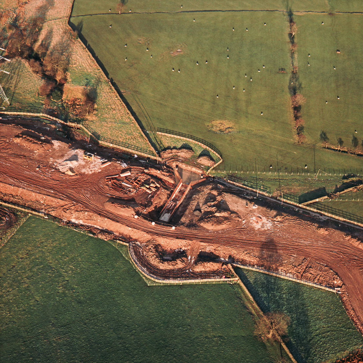
Stanworth Farm underpass, view north (see all photos of the same view)
The facing walls of the underpass have been partially built and, unusually, one end of the structure has been covered in earth to form a temporary embankment for the haul road to cross the work site.
Date
12 January 1995
(see all photos from this date)
Direction of view
North
Structures visible
Structure 21 (Stanworth Farm underpass)
What's new
The road that made no sense
It was the UK's only single-carriageway motorway, and twenty years ago it ceased to exist. This is the story of the strange fascination it held, and of my place in history.
The forever bottleneck, part 2
The second part of the story, where we learn why exactly the M4 gets narrower on the final approach to Europe’s biggest city.
The forever bottleneck, part 1
The M4 into London was one of the UK's earliest and most ambitious motorway projects. It was bold, pioneering... and almost instantly regretted.