Stanworth rock cutting, view west, 12 December 1997
Stanworth rock cutting, view west (see all photos of the same view)
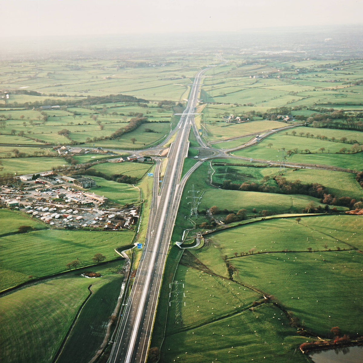
Stanworth rock cutting is actually just out of sight at the bottom of the picture. In the middle distance is Riley Green Interchange, a deceptively complex part of the project where some parts were only finished in the last couple of months.
Structure 20/20a (Riley Green interchange bridges)
Structure 21 (Stanworth Farm underpass)
A674 Chorley Road
A675 Bolton Road
What's new
The road that made no sense
It was the UK's only single-carriageway motorway, and twenty years ago it ceased to exist. This is the story of the strange fascination it held, and of my place in history.
The forever bottleneck, part 2
The second part of the story, where we learn why exactly the M4 gets narrower on the final approach to Europe’s biggest city.
The forever bottleneck, part 1
The M4 into London was one of the UK's earliest and most ambitious motorway projects. It was bold, pioneering... and almost instantly regretted.
Have you seen...
London's Forgotten Arterial Roads

The 1920s and 30s saw a huge roadbuilding boom in London's suburbs. Some of those roads are incredibly well known, but here are five Arterial Roads that have been almost completely forgotten.