View east from Brimmicroft footbridge to Riley Green, 12 December 1997
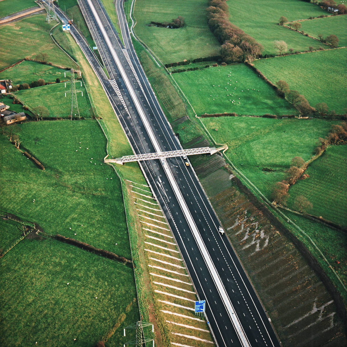
View east from Brimmicroft overbridge to Riley Green (see all photos of the same view)
The bridge at Brimmicroft occupies the middle of this picture, with part of Riley Green Interchange at the top.
Date
12 December 1997
(see all photos from this date)
Direction of view
East
Structures visible
Structure 19a (Brimmicroft overbridge)
What's new
The road that made no sense
It was the UK's only single-carriageway motorway, and twenty years ago it ceased to exist. This is the story of the strange fascination it held, and of my place in history.
The forever bottleneck, part 2
The second part of the story, where we learn why exactly the M4 gets narrower on the final approach to Europe’s biggest city.
The forever bottleneck, part 1
The M4 into London was one of the UK's earliest and most ambitious motorway projects. It was bold, pioneering... and almost instantly regretted.
Have you seen...
Road Numbers

We'd be lost without them, but there is nothing straightforward about the seemingly simple business of giving roads a number.