M6/A6 interchange culvert works, view south east, 12 December 1997
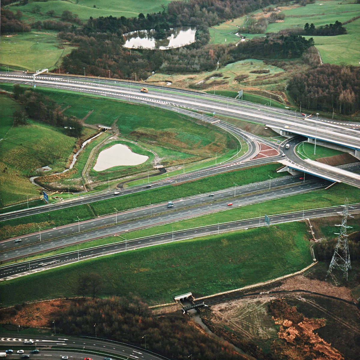
M6/A6 interchange culvert works, view south east (see all photos of the same view)
The focus of this picture is the huge embankment in the foreground, which was expanded to carry the sliproads on either side of the M6, at a higher level than the motorway, between the two roundabouts. The culvert visible at the bottom of the picture was extended considerably to permit this.
M6 motorway
What's new
The road that made no sense
It was the UK's only single-carriageway motorway, and twenty years ago it ceased to exist. This is the story of the strange fascination it held, and of my place in history.
The forever bottleneck, part 2
The second part of the story, where we learn why exactly the M4 gets narrower on the final approach to Europe’s biggest city.
The forever bottleneck, part 1
The M4 into London was one of the UK's earliest and most ambitious motorway projects. It was bold, pioneering... and almost instantly regretted.
Have you seen...
Exhibition Road
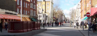
The UK's biggest "shared space" is a phenomenally expensive experiment in West London. How does it work?