Cuerden embankment, view west, 4 October 1994
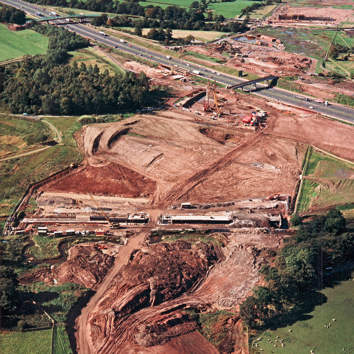
Cuerden embankment, view west (see all photos of the same view)
The site of the future Cuerden embankment - a tall earthwork wide enough to support an eight lane motorway - is here just open ground with topsoil removed. A culvert has already been mostly built, indicating the width of the base of the future embankment.
Structure 4/4a/4c (M6 interchange bridges)
M6 motorway
What's new
The forever bottleneck, part 2
The second part of the story, where we learn why exactly the M4 gets narrower on the final approach to Europe’s biggest city.
The forever bottleneck, part 1
The M4 into London was one of the UK's earliest and most ambitious motorway projects. It was bold, pioneering... and almost instantly regretted.
Hello, here's my ridiculous side project
An introduction to what I write, and why I write it, and where my strange new road sign simulator fits in to all this.
Have you seen...
British Roads FAQ

The most Frequently Asked Questions where British Roads are concerned, and the answers. A good place to start if you're new to the subject or you're looking for quick facts.