gilwern.jpg
Image
Descriptive text
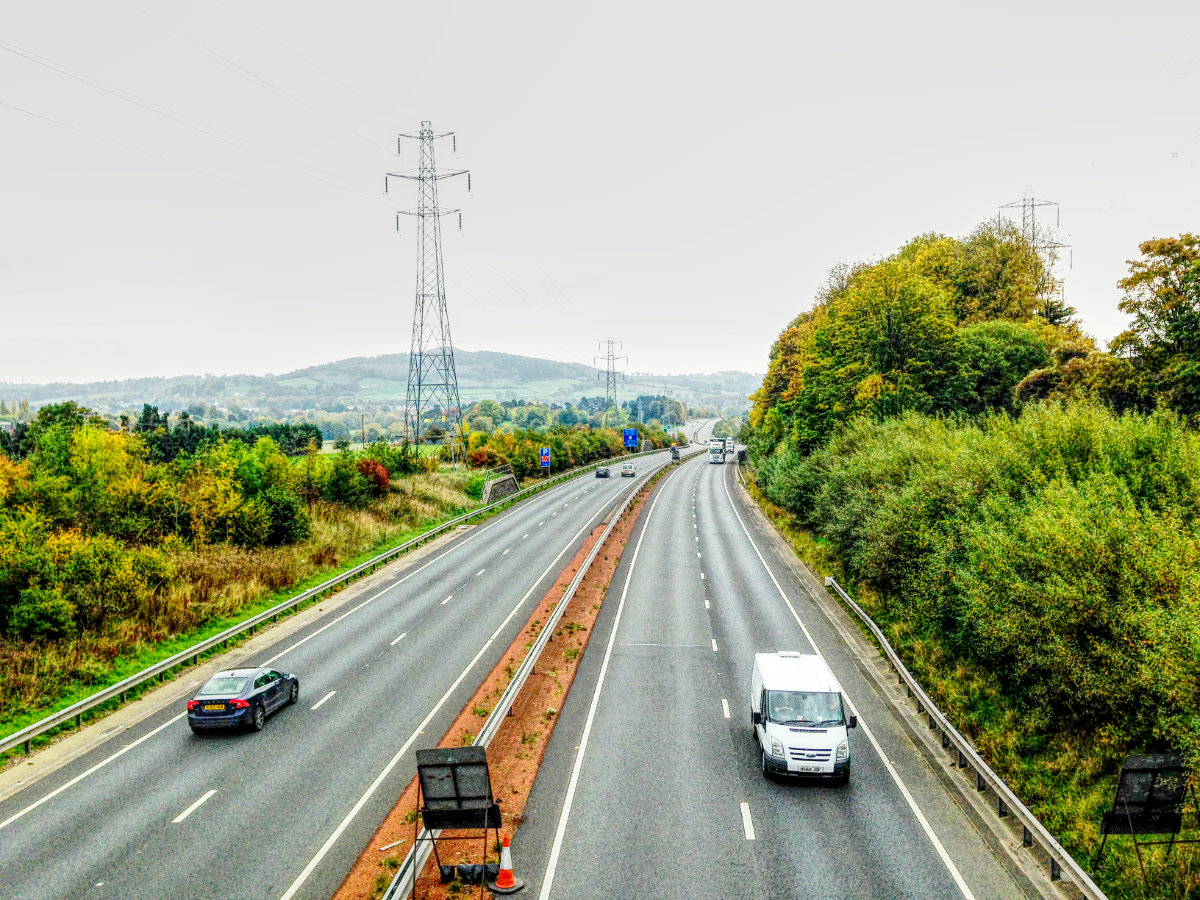
View of a modern dual carriageway that curves away into the distance; a line of pylons follows the route and dramatic hills are visible on the horizon
Caption
The A465 close to Abergavenny, with Ysgyryd Fach in the distance. The road only becomes busier and more dramatic as it continues west
Picture credits
This is an original image for which copyright rests with Roads.org.uk.
Original size
1200×900
What's new
The road that made no sense
It was the UK's only single-carriageway motorway, and twenty years ago it ceased to exist. This is the story of the strange fascination it held, and of my place in history.
The forever bottleneck, part 2
The second part of the story, where we learn why exactly the M4 gets narrower on the final approach to Europe’s biggest city.
The forever bottleneck, part 1
The M4 into London was one of the UK's earliest and most ambitious motorway projects. It was bold, pioneering... and almost instantly regretted.
Have you seen...
Reigate Tunnel
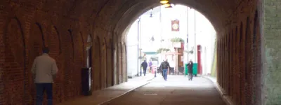
An unassuming Surrey market town with an amazing claim to fame — the world's first road tunnel.