Some of Britain's best-known roads radiate outwards from London like the spokes of a wheel. Where do they go? In the first of an occasional series, we make a journey Out of London to follow the A40 right to the end.
The A40 is one of the UK's longest roads - seventh longest, to be exact - and one of the most important in the road numbering scheme. Within London, the A1 and A5 both start on the A40. Its journey will take you from the chaos of Oxford Street to the peace and quiet of the Cotswolds, the rugged hills of the Brecon Beacons and the windswept coast of Pembrokeshire.
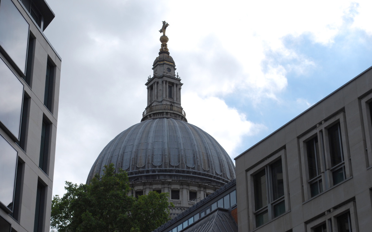
So pack yourself a bag and meet us at St Paul's Cathedral in the City of London, and let's make a trip right the way to the other end of the road.
| Route: | A40 |
| Start: | St Paul's Cathedral, City of London |
| Finish: | Fishguard, Pembrokeshire |
| Length: | 263 miles; 423 km |
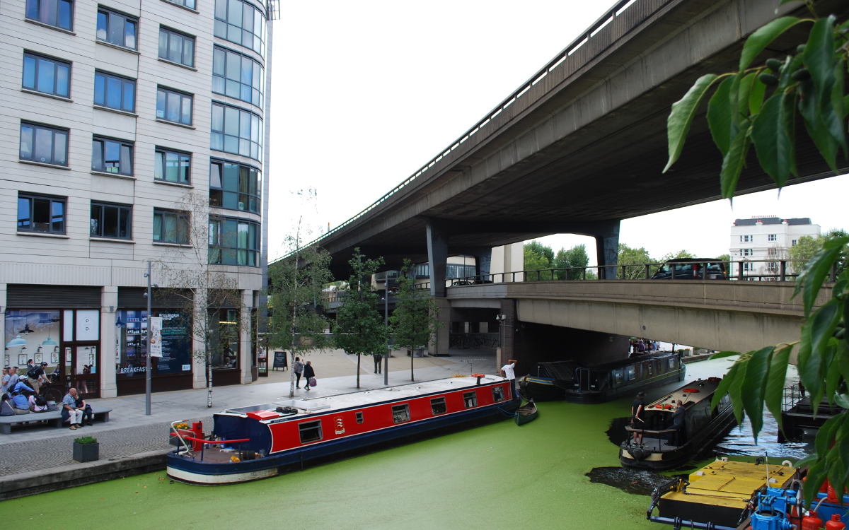
The A40 starts at the junction of Newgate Street and St Martin's le Grand, in the shadow of the Cathedral dome and at the entrance to St Paul's tube station, and strikes out westward. Here in the heart of the City, the streets are never quiet, but when was the last time a car turned this corner and headed west on Newgate Street, bound for the western shore of Wales?
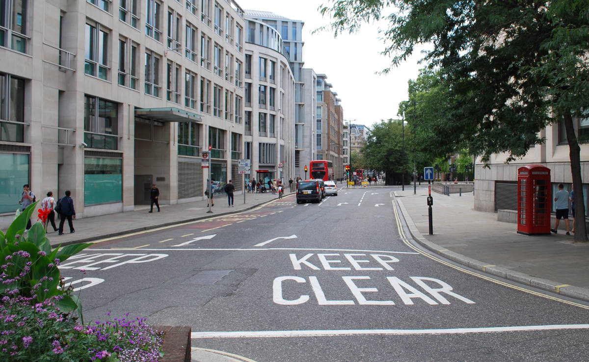
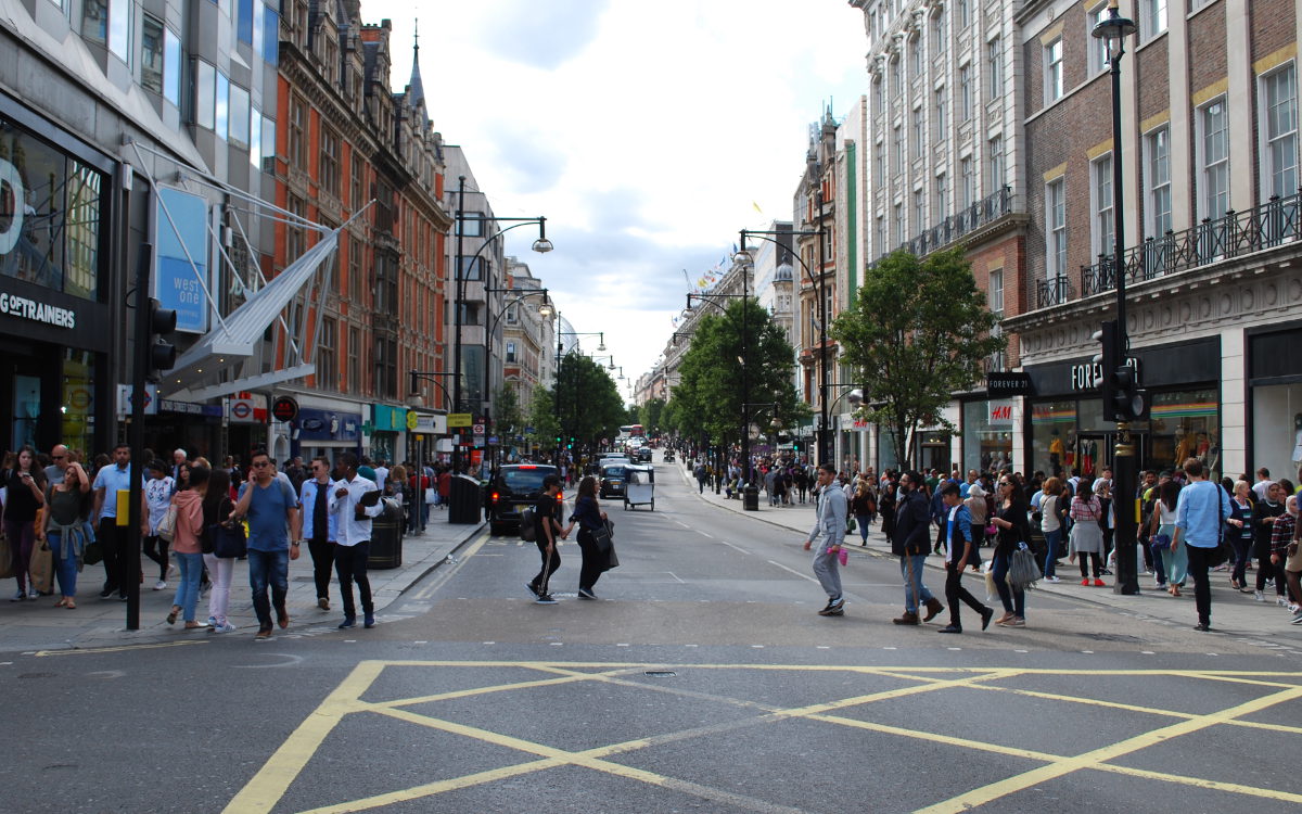
Crossing the Holborn Viaduct, built in the mid-19th century to cross the River Fleet and Farrington Street, businesslike High Holborn turns into lively Oxford Street, thronged with shoppers and buses. If you're not a shopper or a bus you don't stand much chance of driving this part of the A40, and the private motorist will need to rejoin the route at Marble Arch where the road... mysteriously vanishes. A strange gap exists between there and the Marylebone flyover nearly a mile to the north, filled by the A5 and a range of perplexing back streets.
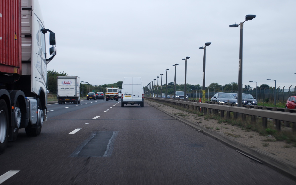
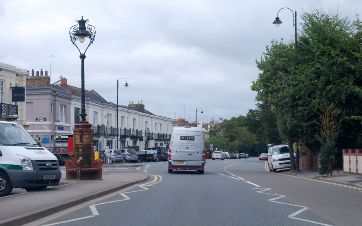
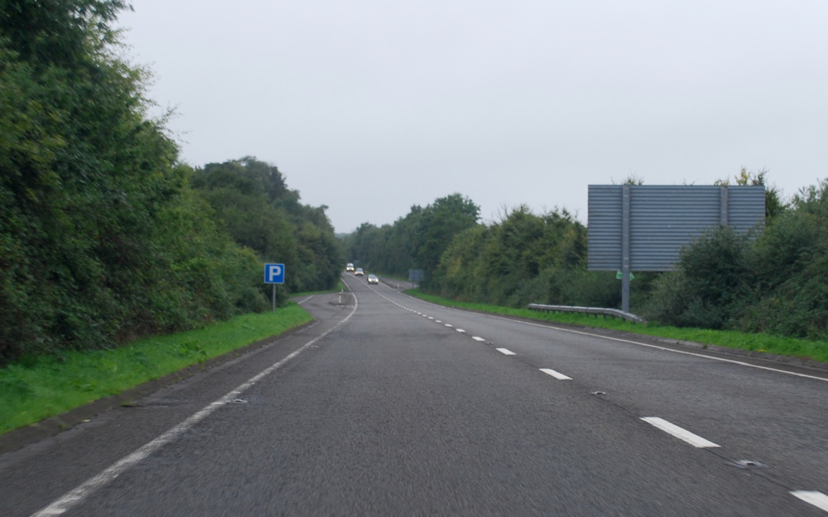
The A40 reappears, as if by magic, where the Paddington Flyover rises out of the A501 Marylebone Road, climbing up to rooftop level to traverse Kensington on Westway, a notorious elevated road through the suburbs that was once an urban motorway, the A40(M). Westway eventually descends to ground level, becoming Western Avenue, a new road built in the 1920s to replace the original A40, Uxbridge Road, and which is now a frantically busy three-lane dual carriageway leading all the way out to the M40.
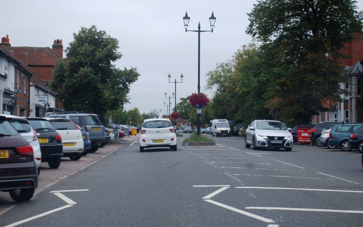
So far the journey out of London will be familiar to many people, but from here it becomes much less well known. At Denham, the M40 takes over the main route, and the A40 exits by a sliproad, negotiating the Magic Roundabout and striking off into the Chilterns. The motorway forms bypasses of the main towns on this route, so the A40 passes straight through the middle of Beaconsfield and High Wycombe - where there's another Magic Roundabout - before finally leaving the London commuter belt behind as the peaceful Chiltern village of West Wycombe gives way to hills and fields.
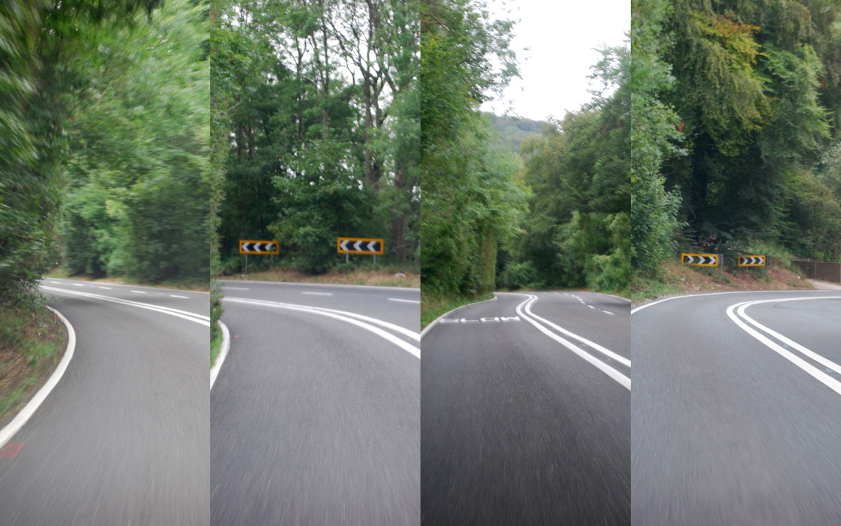
A long climb to Stokenchurch, with its distinctive concrete telecommunications mast, marks the high point of the route over the Chiltern Hills, and a right turn to avoid being diverted towards the M40 leads to Aston Hill, once a notorious obstacle on the road to Oxford and now a quiet but very enjoyable series of bends that rattle and bounce the A40 down to the flat, open expanse of Oxfordshire.
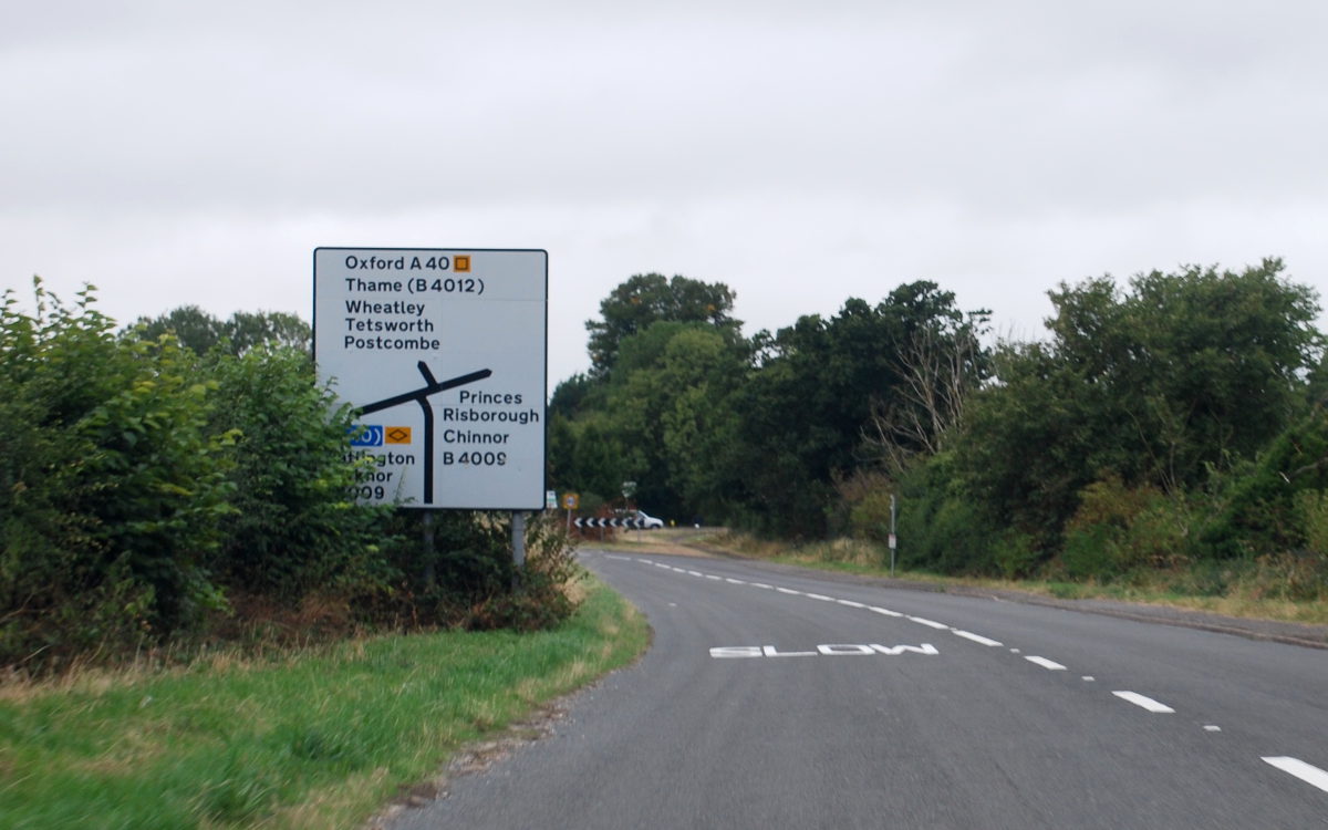
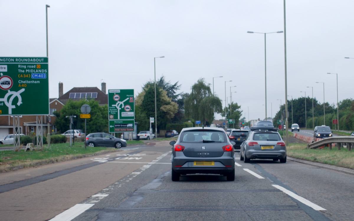
At Lewknor, the A40 negotiates a staggered crossroads where the B4009 takes priority, an indication of just how inconsequential this section became when the M40 opened. But that soon changes: at Wheatley, the M40 strikes off towards Birmingham, and the green signs return. From junction 8 the A40 is a fast dual carriageway leading to Oxford - fast, that is, until the inevitable queue at the Headington Roundabout where it turns right (through the middle of the junction) to join the bypass.
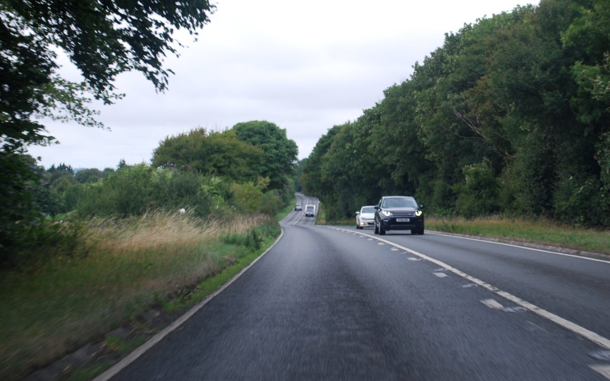
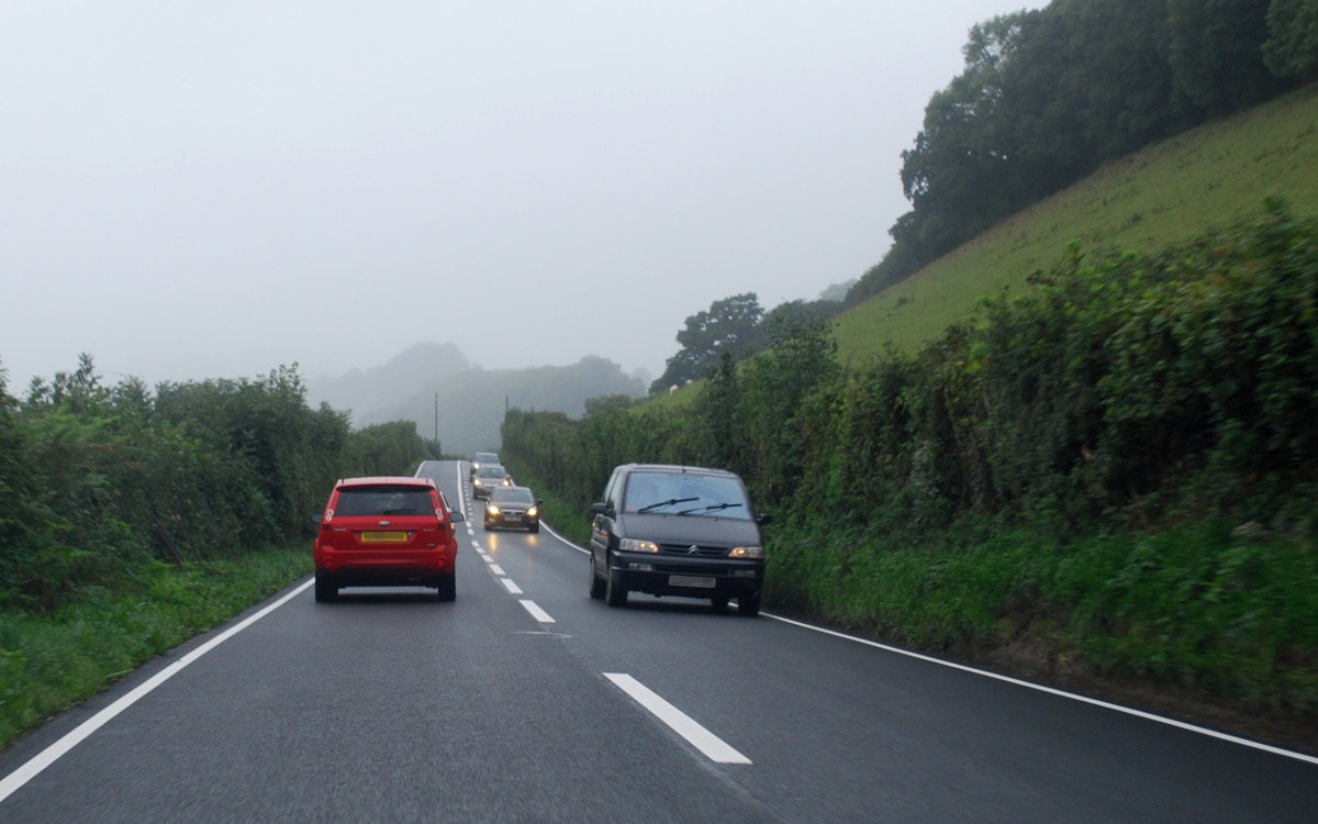
A stop-start trundle through the suburbs leads to Peartree, where the A40 quite suddenly emerges as a busy but very direct single-carriageway road. A burst of dual carriageway around Witney is followed by the slower but much more interesting journey across the southern edges of the Cotswolds, with a few more hills and corners to negotiate and an awful lot more caravans. Here, at Shipton, just before reaching Cheltenham, the A40 finally crests a hill that takes it over the watershed and out of the catchment area of the Thames.
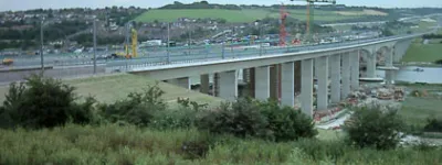
Cheltenham is effectively bypassed by the A436 and A417, but the A40 dives in headfirst, muddling its way through a range of suburban streets and lanes to find its way past the town centre. At the far side, just past the enormous (and surprisingly well-signposted) GCHQ building, another sudden burst of fast dual carriageway carries the route over the M5 to reach Gloucester. Another right turn through the middle of another congested roundabout leads to another slow-moving bypass.
Eventually the A40 shakes free of Gloucester, and the A48 branches off to the left, heading for the bright lights of South Wales. It'll come back to finish on the A40 again at Carmarthen. The A40 itself, though, takes the slow road to Ross, trundling through picturesque woodland at the pace of the most unhurried tourist, eventually crossing into Herefordshire and reaching a roundabout with the A449 that marks the start of the Ross bypass.
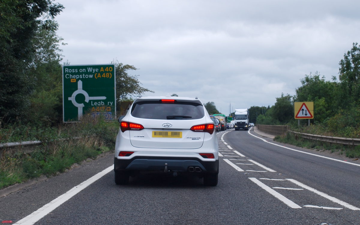

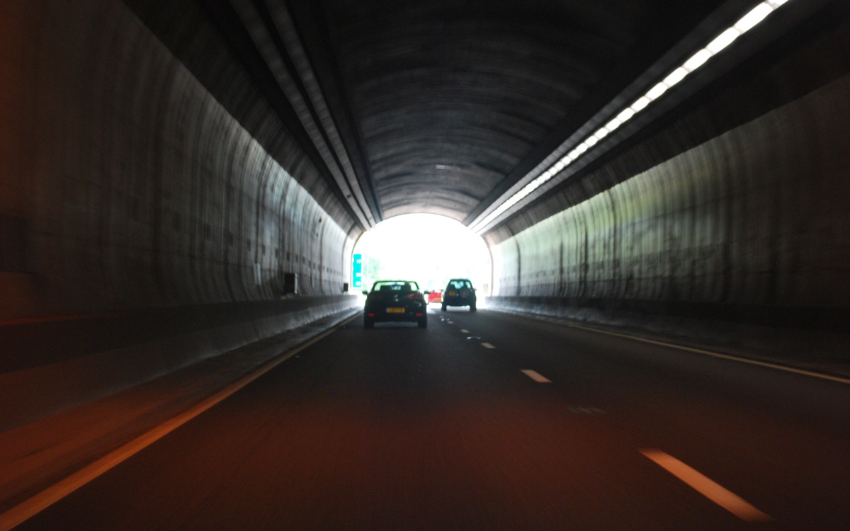
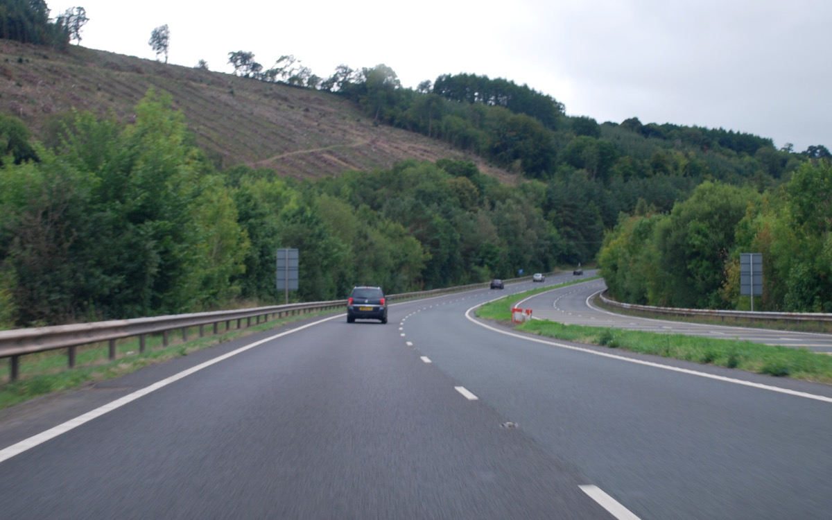
The route of the A40 is one of sudden changes between slow country roads and fast dual carriageways, and here's another. The Ross bypass is the start of a continuous expressway from the end of the M50 right down to Newport. Turning left to join it, the A40 flies down the Wye Valley to Monmouth, where a notorious set of traffic lights hold up progress ahead of the Gibraltar Tunnels.
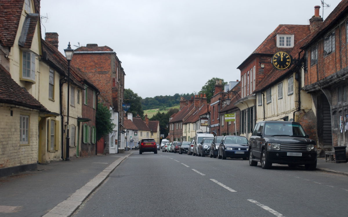
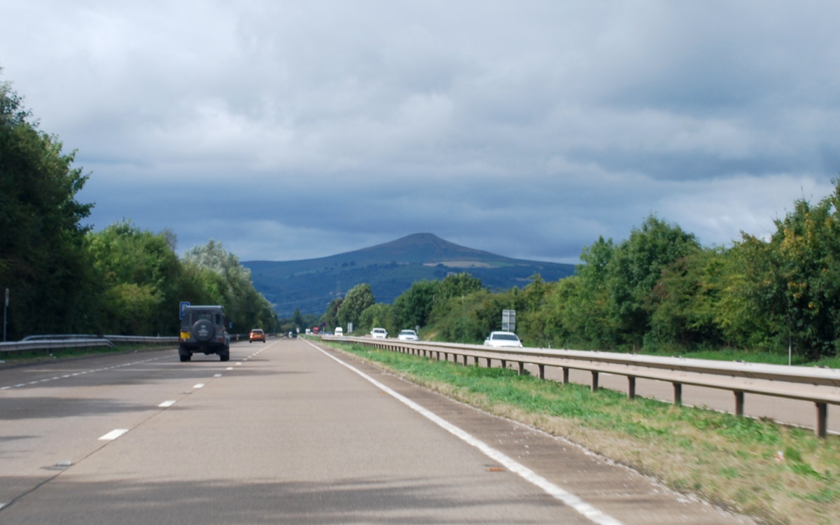
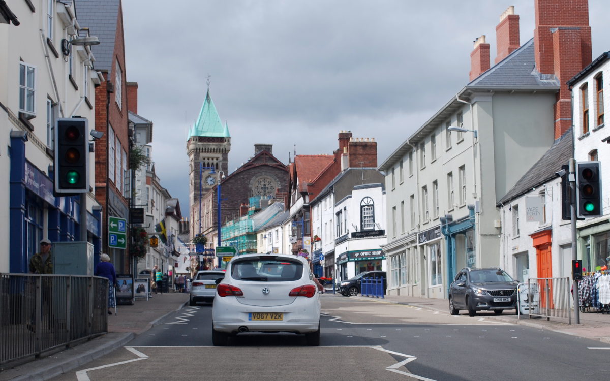
A few miles beyond, at Raglan, the A40 swerves off the dual carriageway, with the A449 continuing the run down to Newport, and strikes out west on its own line. Beyond Raglan itself is a long, remarkably straight and completely uninterrupted dual carriageway that seems to lead directly towards Sugar Loaf, one of the Black Mountains. It ends at Abergavenny, with the A465 Heads of the Valleys Road lying ahead, but the A40 passes through the handsome market town, picking its way slowly around the pedestrianised shopping streets before beginning a slower but much more enjoyable drive towards Brecon.
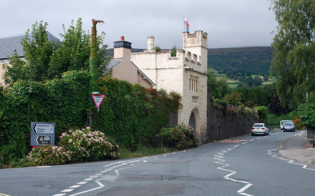
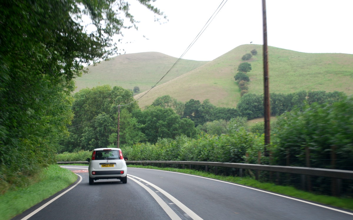
The road passes through Crickhowell, a fine and very old-fashioned rural market town, before climbing its way around the steep hills and sharp turns at Bwlch into the Beacons. At Brecon itself, a short dual carriageway bypass - notable for its lack of central barrier - leads to the next section of road, a slower and twistier journey through the Brecon Beacons National Park towards Llandovery.
Another pause to slip through the town centre, and the next rural stretch is more open and a little more level. The journey from Abergavenny will take at least an hour on this relatively slow road, so at Llandeilo the very straight and direct northern bypass comes as something of a shock. It's a sign that the A40 is almost done being a scenic road through the mountains and about to become a major trunk road yet again.
Before turning back into a direct, major trunk road for the last time, the last hurrah of the scenic A40 begins at the end of the Llandeilo bypass. After a few miles of straight and wide, the road reverts to narrow and twisting, bouncing its way along the edge of the Towy Valley - not down on the flat valley floor, but part-way up the north side, with steep hills above and a shallow drop to the valley below.
This length gives way to the dual carriageway Carmarthen Bypass, and halfway round the town the A48 arrives from the south - a road we last saw at its start point at Gloucester and which has come here to finish on the A40 having visited Newport, Cardiff and Swansea.
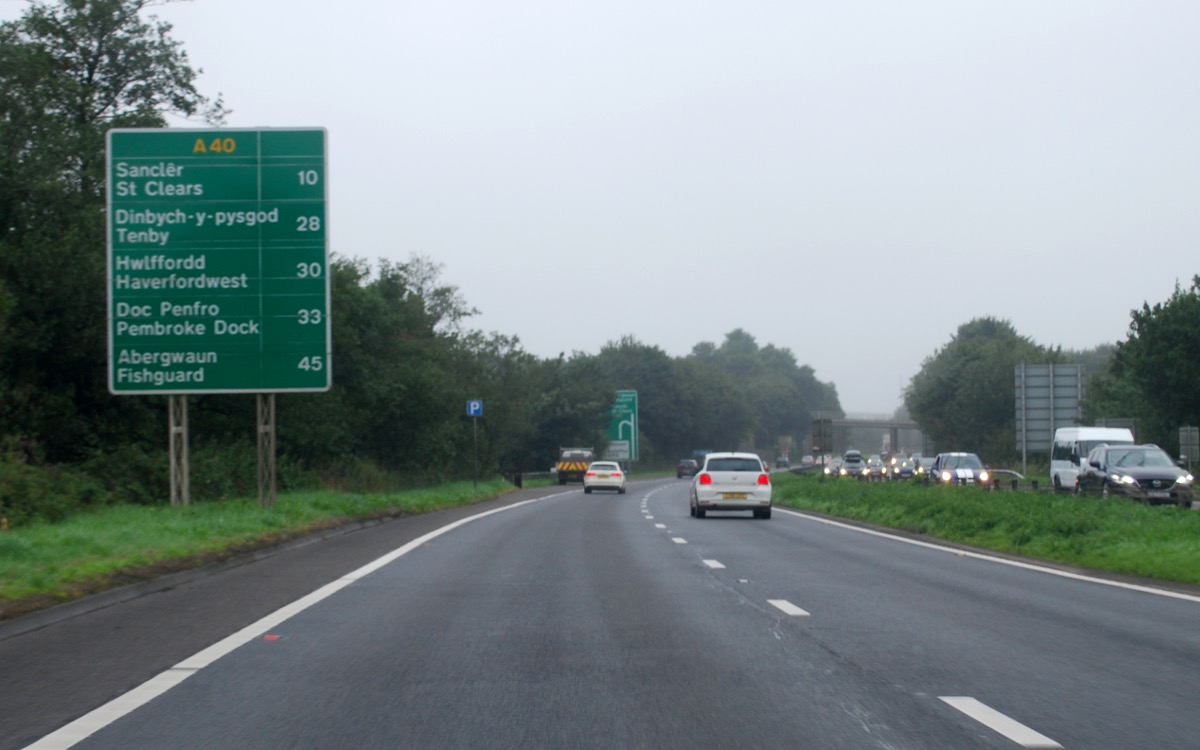
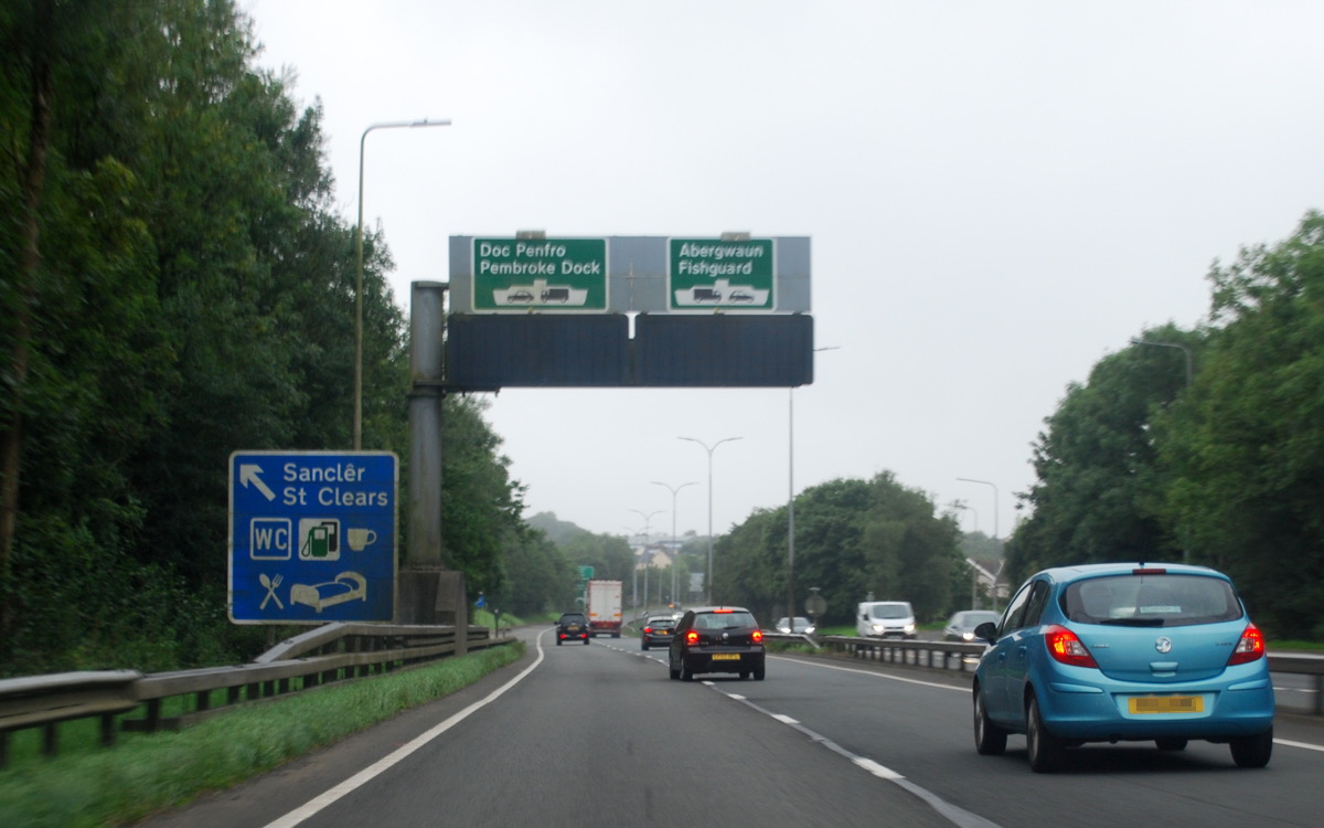
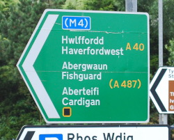
From the final roundabout at Carmarthen, the A40 is a fast but rarely straight or level dual carriageway to St Clears - the fastest road in south west Wales by a long stretch, but one full of side turnings and central reservation crossings, and a far cry from some of the fast expressway sections the A40 has traversed to get here. The last of the dual carriageway runs out at St Clears, with electronic signs aimed at the diverging streams of traffic heading for ferry ports at Pembroke Dock and Fishguard.
The next section has seen quite a lot of work in the last decade, introducing overtaking lanes and new roundabouts to make a long journey cross-country on a single carriageway road much safer than it used to be. There's still a long way to go from St Clears - it's about 40 miles to Fishguard and behind a slow lorry that's quite a slog. But it passes surprisingly quickly, and at Haverfordwest a right turn leads to a much less improved, but much quieter and equally fast, run to Fishguard.
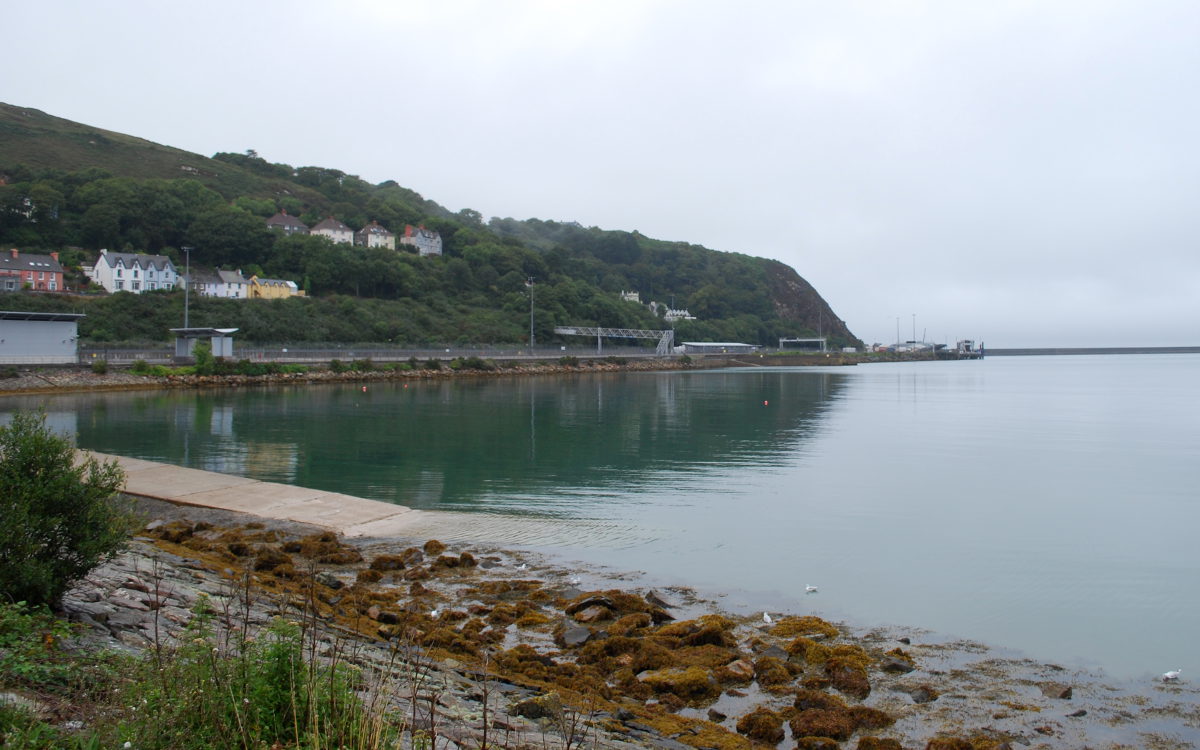
The last fifteen miles are north, not west, almost as though the A40 wasn't satisfied with reaching the far western edge of Wales and decided to strike out in a completely new direction. Fishguard itself is not quite the end of the line - on the final approach to the town, the A40 descends suddenly and very quickly downhill to Goodwick, a smaller town on the shoreline where the ferry port is located.
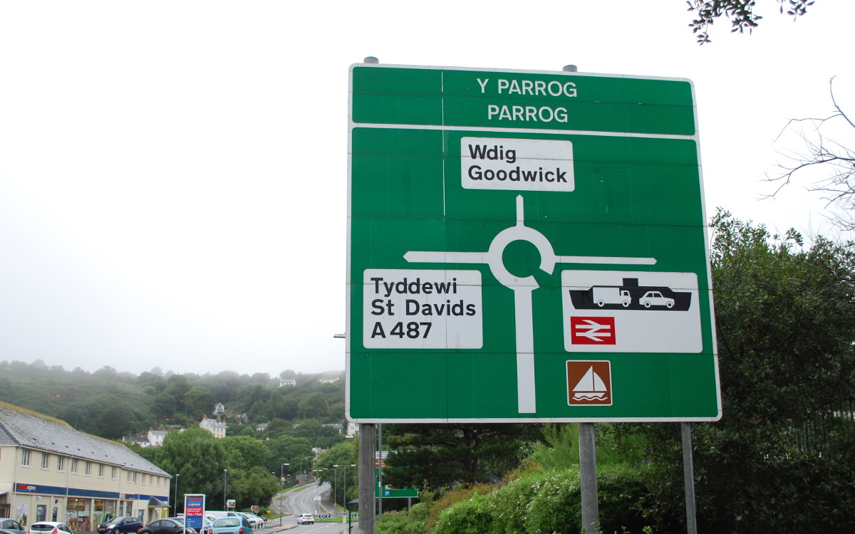
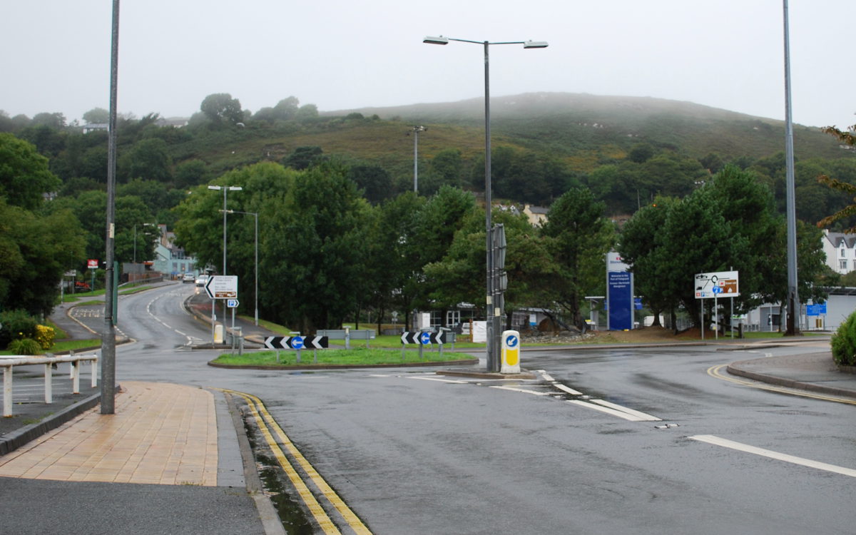
At the bottom of the hill, the A40 negotiates another roundabout and becomes an older, narrower road, curving down the last of the slope to run westwards along the seafront, with the shore away to the right, beyond a big car park and a small aquarium called Ocean Lab, and a parade of shops on the left. And then, just ahead, is a roundabout. The sign is green, because we're on the primary route A40, but none of the exits are green, and none of the exits are A40.
The port, our final destination, is just to the right; the A487 towards St David's is to the left. And here, at a dashed white line leading on to a very small grassy roundabout, is the end of the A40. The green signs pointing westwards refer only to Haverfordwest and Fishguard - barely hinting at the route that begins here.
The A40 finds itself here because Fishguard Harbour is here, even though the town it's named for is up at the top of the hill a mile or two east. Goodwick is, rather unfairly, an afterthought to all forms of transport: the A40 is virtually always described as terminating in Fishguard, even though it comes here, and even the railway station, just beyond the terminal roundabout, is called "Fishguard and Goodwick". But it's a nice enough place in its own right, sitting in a sheltered bay between two imposing headlands, with the harbour breakwater stretching out into the Irish Sea and the coastline receding into the distance.
There isn't really much there, all things considered, for the weary traveller who left central London eight hours ago and has driven through the centre of Cheltenham and negotiated the Brecon Beacons to arrive here.
But then, who'd do that?
![]()
Comments
Fascinating run through, but a bit of a pity you glossed over the twenty miles or so from Denham to Stokenchurch- it's a pretty important east-west route for local traffic in south Bucks! Especially if like me you have to sit on it in traffic every day in East Wycombe to get to one of the many business parks on it! Way too many lights installed and roundabouts removed!
Also there's a big project in High Wycombe to redirect the A40 from a 1960s flyover in the town centre to an alternative route, allowing the flyover to eventually be demolished. Someday anyway!
Chris
Fascinating and very informative. Never would have thought St Paul's, more like Edgware Road/Marylebone junction as the start
Definitely will be ready to read more of these as they come on line. Thanks again for a great site
Brilliant to read through this. Thank you. My sister lives in London and I live between Haverfordwest and Fishguard. We are currently on a virtual walk to meet in Ross on Wye as part of walk all over cancer for cancer research. We were speculating on the time it would take to drive.
My best of all roads....Traveling light to Tenby, someone having come into our local launderette in the Harrow Road, "Are you from Caldey?" (A long way for the Cistercians to come and wash their habits?!) Hitch-hiking when such things were welcome and a joy, Llandovery and Swansea (a long afternoon once, no pathway onwards, at Senny Bridge)... always coming home.
The A40 hasn't always terminated on that roundabout - it used to go up Station Hill, then turn right along Quay Road and end at the hotel by the Harbour station. Traffic for the ferry then had to cross the railway line, but that part of the road was unclassified. Access to the ferry has been drastically changed since then, and it makes sense for it to end where it does now, but let's not forget the full history.